
(Read a personal description of Backblaze here.)
(7/8/06-)
On this page are pictures and descriptions from 7/22/06 - 7/26/06. Click on any picture or panorama for an ENORMOUS version. Click here to go to the homepage and get a description of what this is all about.
(Read
a personal
description of Backblaze here.)
In the morning of 7/22/06, I left Winnipeg, Manitoba, Canada, and drove the motorcycle east on Canada Highway 1 through Kenora where the scenery and drive got interesting again, then southeast down to Thunder Bay, Ontario, Canada which is on Lake Superior (the left most Great Lake), then I drove east around the top of Lake Superior to stay the night in Marathon, Ontario, Canada.
I stopped for breakfast, and 5 minutes later 3 other motorcycles pulled up in formation around my bike. They found me in the restaurant and we talked about our motorcycles and the routes to take (they were locals). On this trip I've found the Canadians in general, and ESPECIALLY the motorcyclists to have been an extremely friendly and relaxed bunch. Always helpful, always saying hello at gas stations and restaurants.
I passed into Ontario an hour or two outside of Winnipeg.
When Canada Highway 1 East (the Trans Canadian Highway) hits Kenora (going east) it suddenly gets beautiful again as it enters the small lakes that pass by on your way to the Great Lakes. This is after 2 days of mind-numbing 75 mph cruising on straight, flat highways. (From Calgary through Winnipeg takes about 2 days, and is pretty boring for motorcycles.) Below is the very very scenic area somewhere right around Kenora, Ontario, Canada. Use your mouse on the HORIZONTAL scroll bar to see the whole scene. I drove through this kind of gorgeous scenery for the rest of the day. The town of Kenora was the prettiest, scenic little town I found all day, I wish I had stopped and spent more time there. I just assumed there would be even more and better as it went along.
Below is Lake Superior! Specifically, I am in the town of "Thunder Bay" which claims to be 100,000 people but doesn't seem that big. It isn't the recreation and bed and breakfast town I suspected it might be, it's kind of industrial and a bit of a dive. So instead of staying here, I decide to keep driving around the north side of Lake Superior (the Canada side) to see if I can scout out some pretty little towns.

The sun went down as I drove along the Canada side (northern) side of Lake Superior, and the sunset was very very pretty. Not many cars on the freeway even though it is Saturday, and few people out boating although the weather is great.

Later as I'm losing the sun I stopped to change out my visor from tinted to clear, and took this panorama. It's hard to capture how pretty it is.

In full darkness (10:30pm) I decided not to waste any views and stopped in the little town of Marathon, Ontario, Canada which was actually one of the larger towns along the drive (and the last one for a while, I decided to hedge my bets and stay in a name-brand hotel to get internet access. :-)
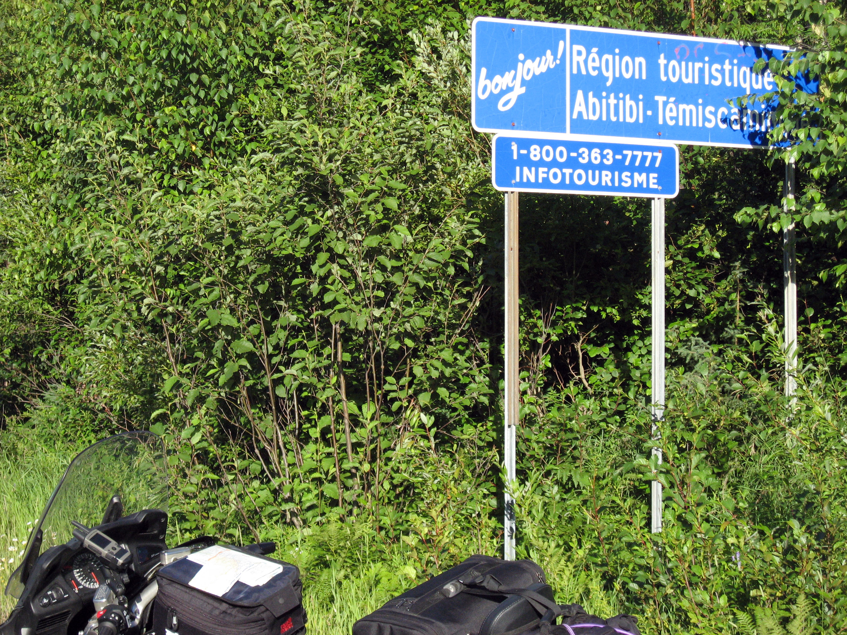
On 7/23/06, Sunday, I left Marathon, Ontario, Canada, and drove my Honda ST1300 motorcycle east along the top of Lake Superior to Wawa. From Wawa I took highway 101 east through Chapleau and Timmons, then east on Highway 66 to cross onto Quebec, Canada. I stayed in Mont-Laurier, Quebec, Canada.
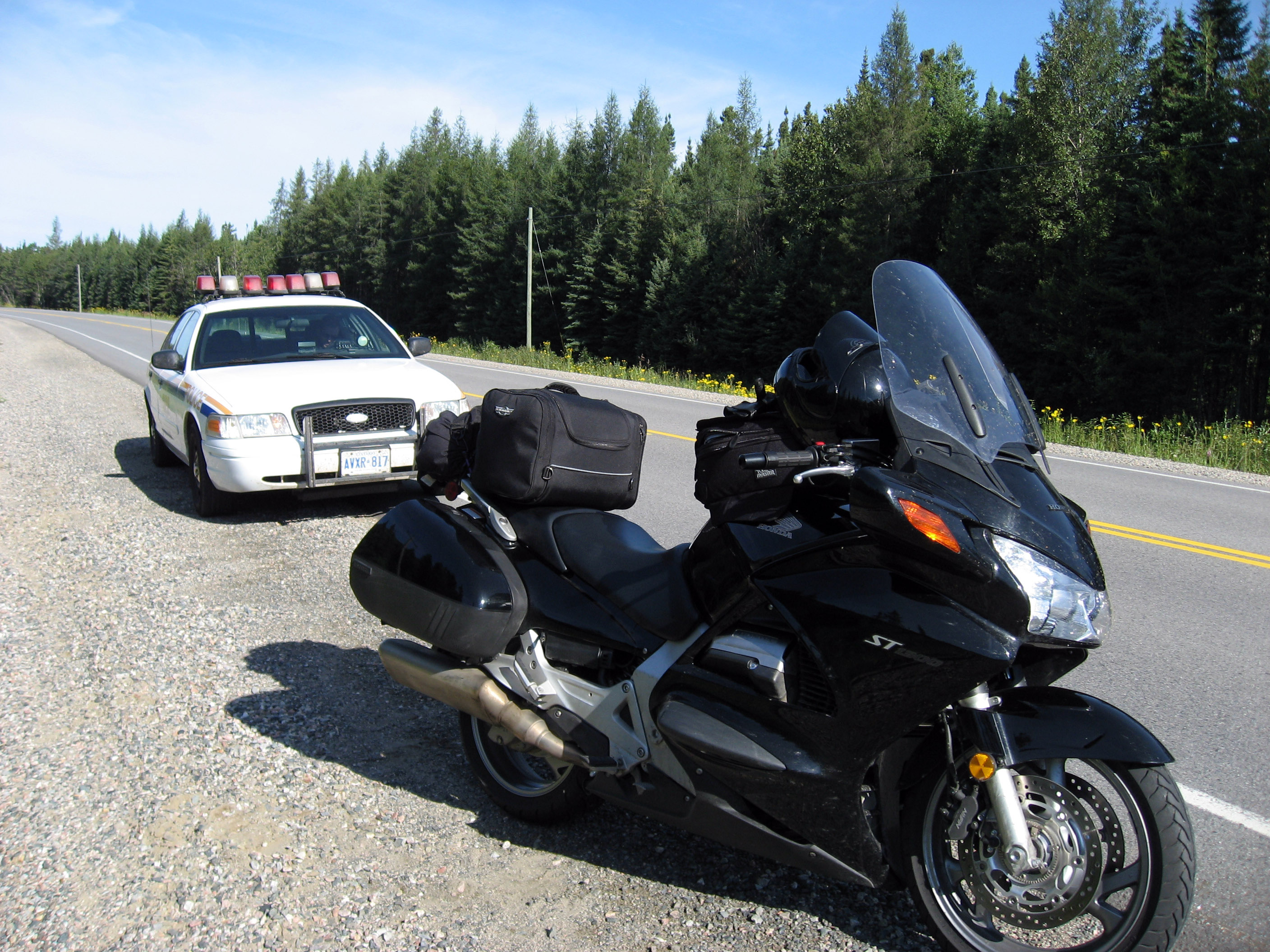
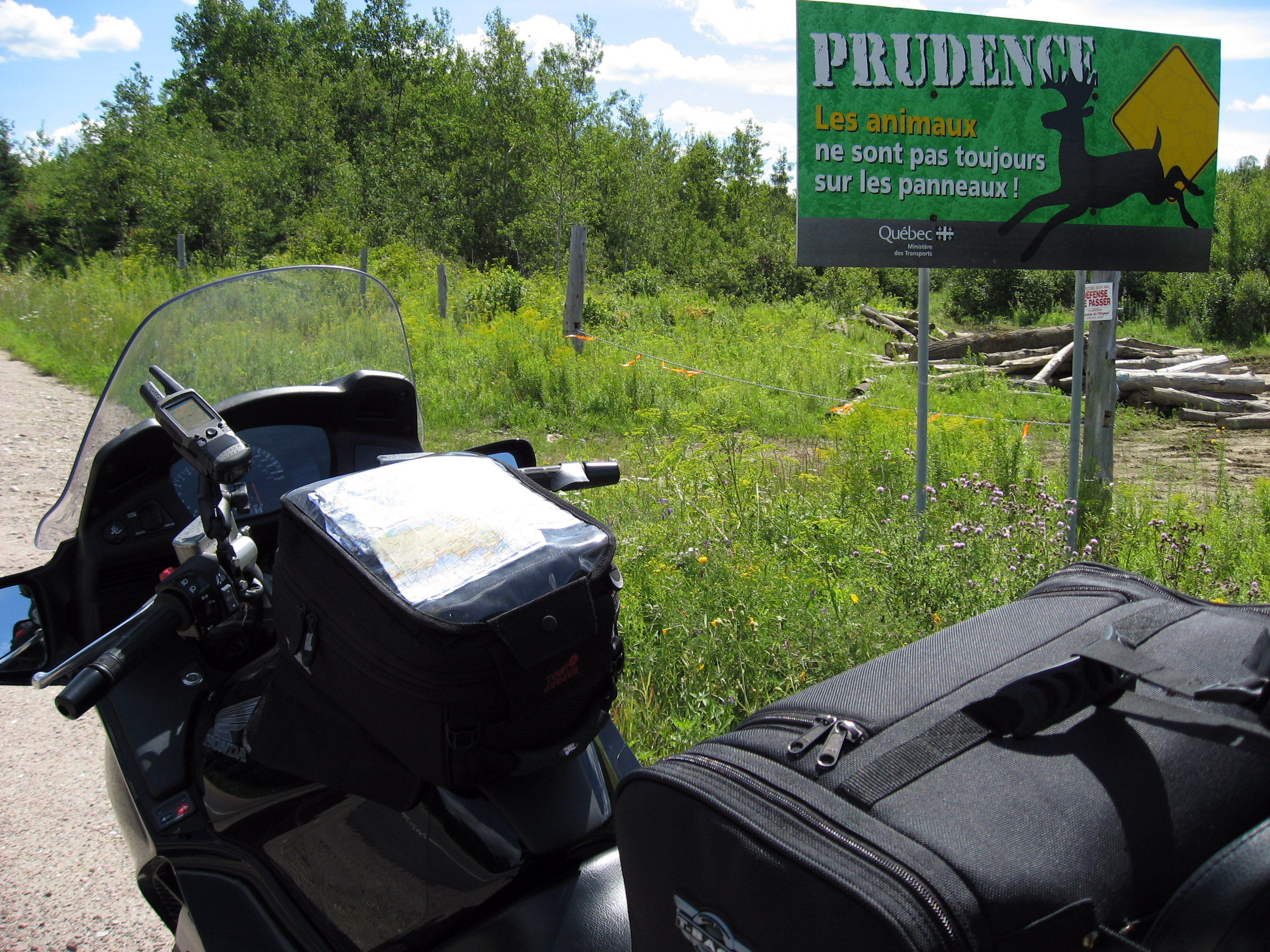
Before I even had breakfast, 5 minutes into my day, got pulled over by this Royal Canadian Mounted Police Officer, and found out about Canadian Police and Ontario's aggressive leaping moose problem. I took this live action over the shoulder shot as he walked up (I stayed sitting on the motorcycle). CORRECTION: I have been told by an observant reader that this was actually an OPP Constable (Ontario Provincial Police) and not a RCMP.
This is the first time I've ever dealt with Canadian police, and he was super polite and seemed honestly concerned about me. The problem on the north side of Lake Superior and elsewhere in Ontario is they have LOTS of casualties from cars colliding with moose on the highways. To solve this, the speed limits are a little lower around here (D'oh!) at 80 kph and 90 kph instead of the normal 100 and 110 kph that is common elsewhere in Canada. I took the picture below as the officer wrote me up for going 110 kph in the moose-zone speed limit of 90 kph. (Good think he didn't catch me *AFTER* my morning coffee, I'm usually going a little faster. :-)
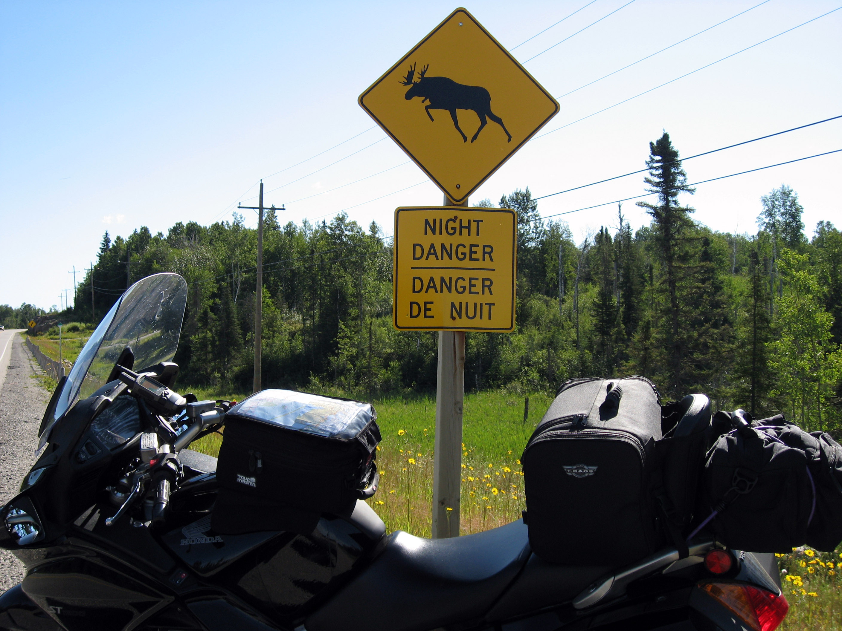
Another 5 minutes down the road, and I stopped by this "Ontario Leaping Moose" sign to emphasize what the Canadian Officer said. These signs are every few miles, although I'm disappointed that so far on my trip I have not seen a single live Canadian moose.
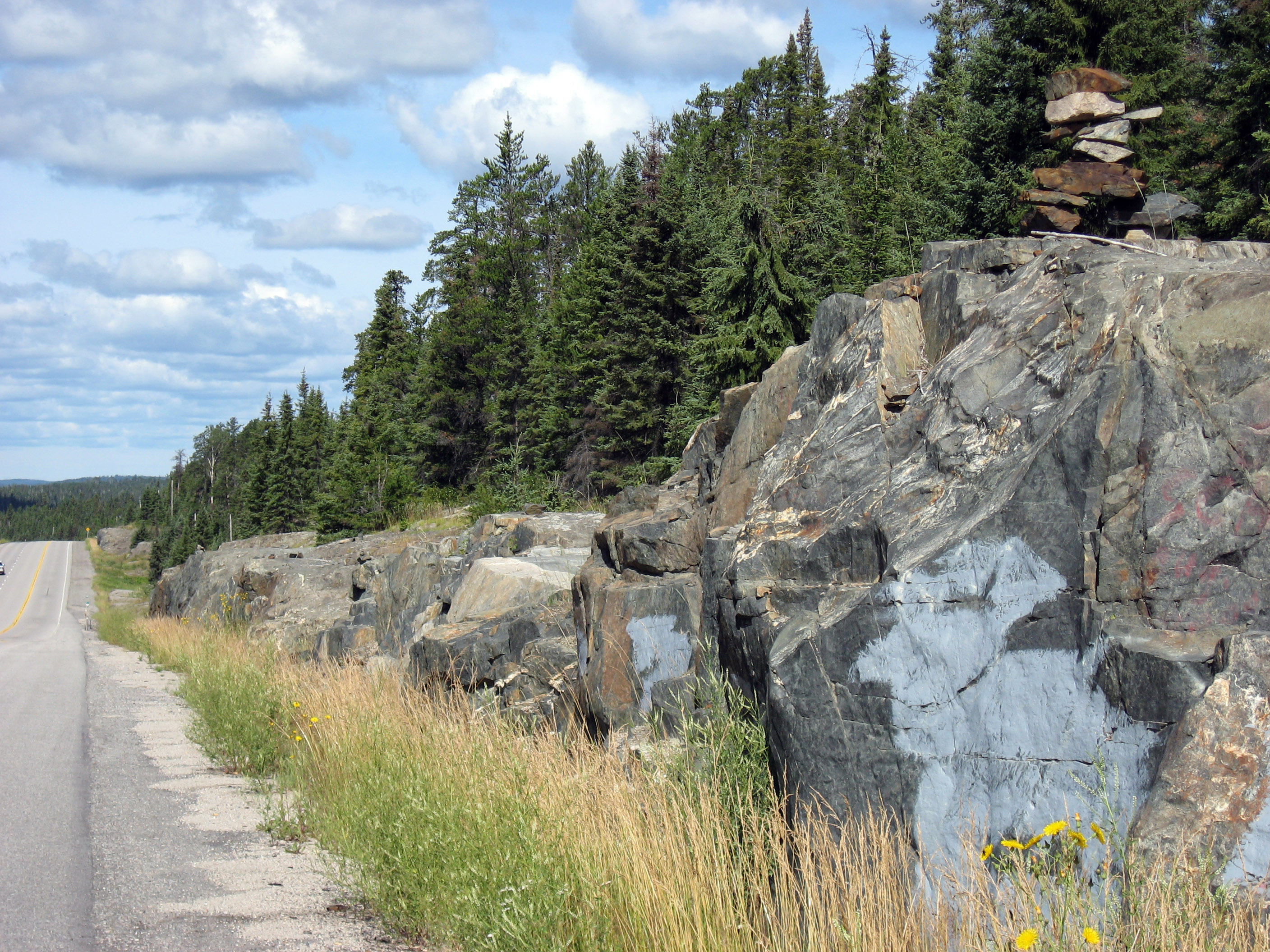
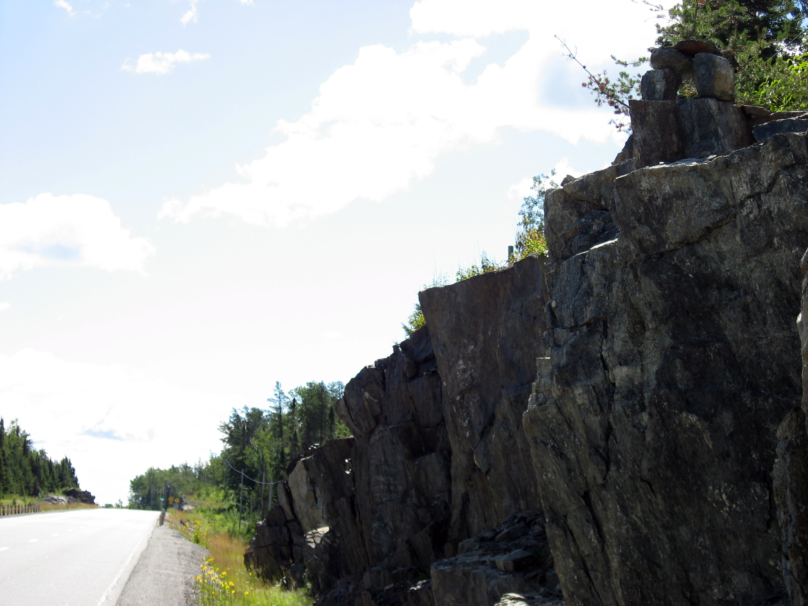
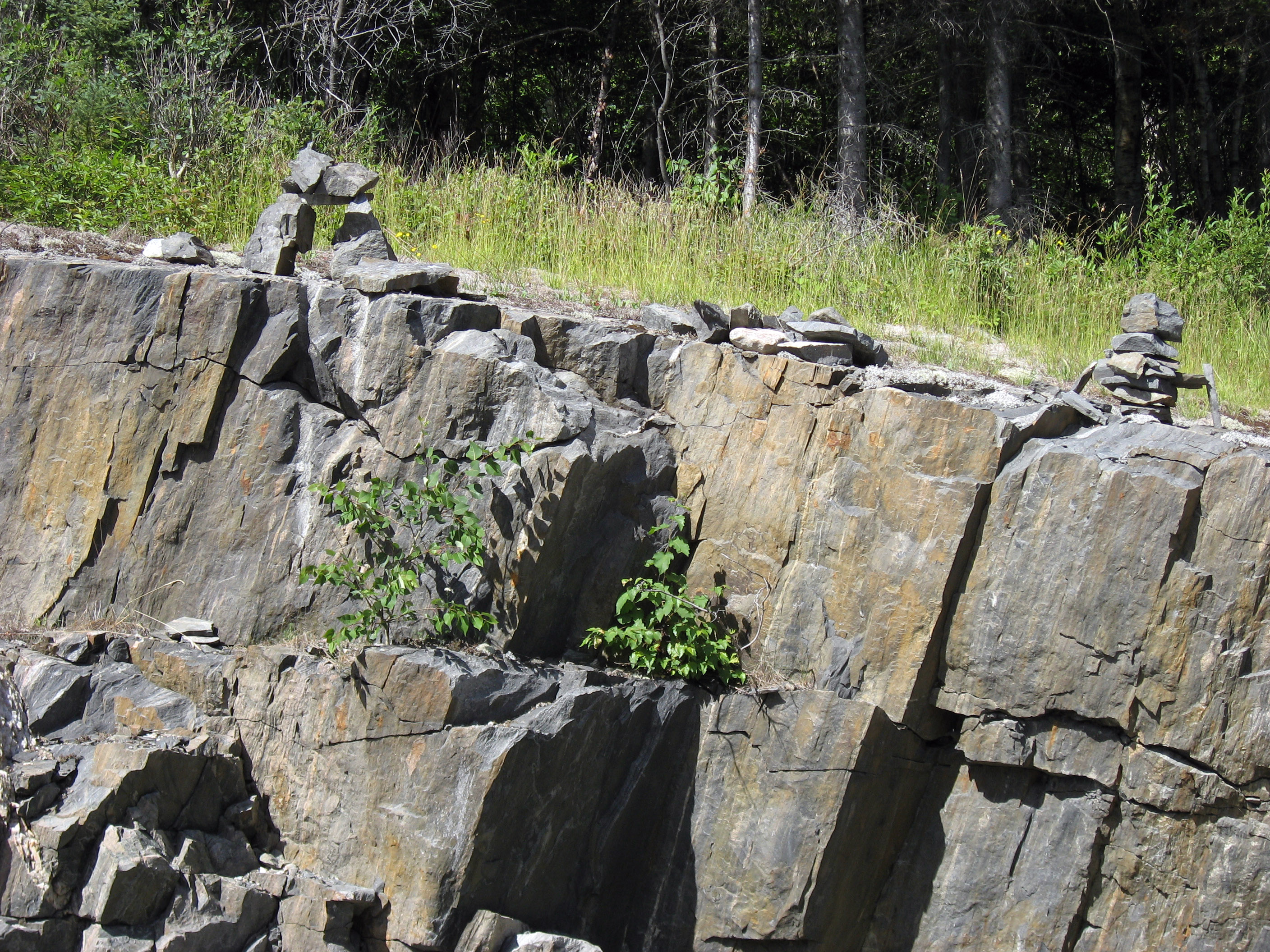
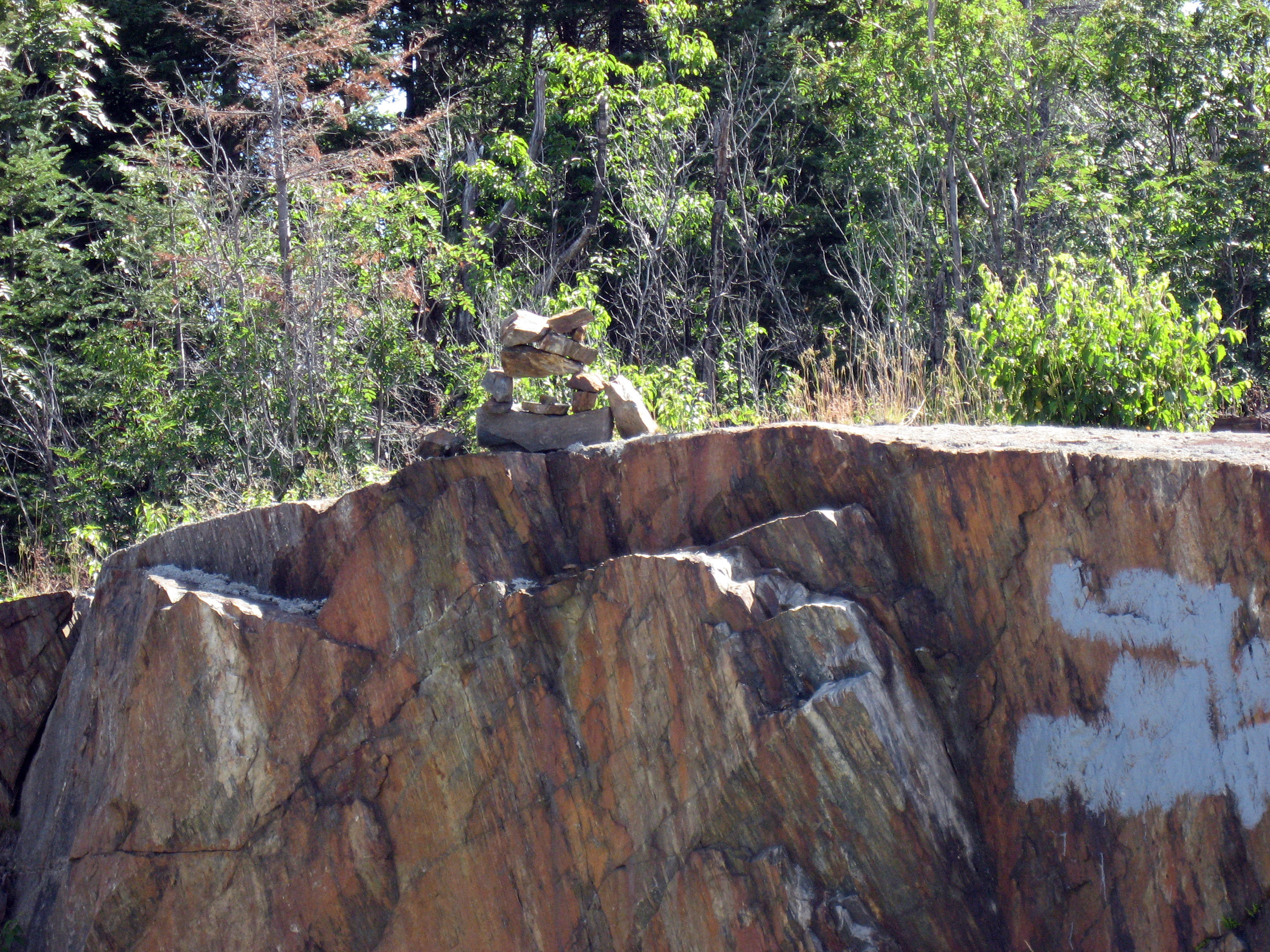
Heading into the town of Wawa, Ontario, Canada, I started noticing IN THE MIDDLE OF NOWHERE there were little piles of rock on the side of the road. At first I thought the rocks accidentally landed on top of each other, but then I started noticing more and more piles, and some big CLEARLY non accidental ones like the pile below:
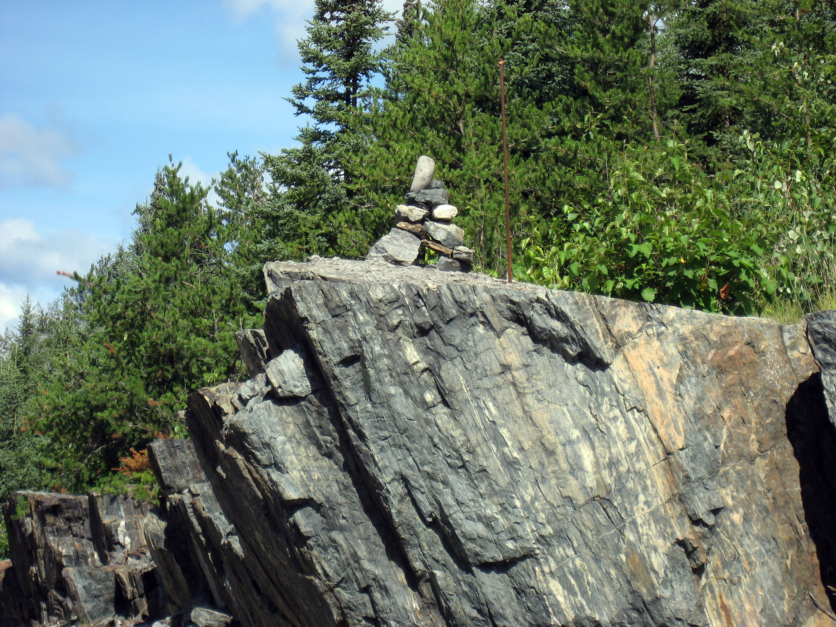
Ok, so after a while it got ridiculous. There are HUNDREDS of these piles outside of Wawa, Ontario, Canada. So for a couple of miles I took pictures of each one I saw. But this is only for a 1 or 2 mile stretch, there are HUNDREDS of piles I didn't photograph.
Some are big and balanced. Many seem to have two base stones and a horizontal platform.
Some are simple, like the one below made up of basically 3 large stones forming a "table".
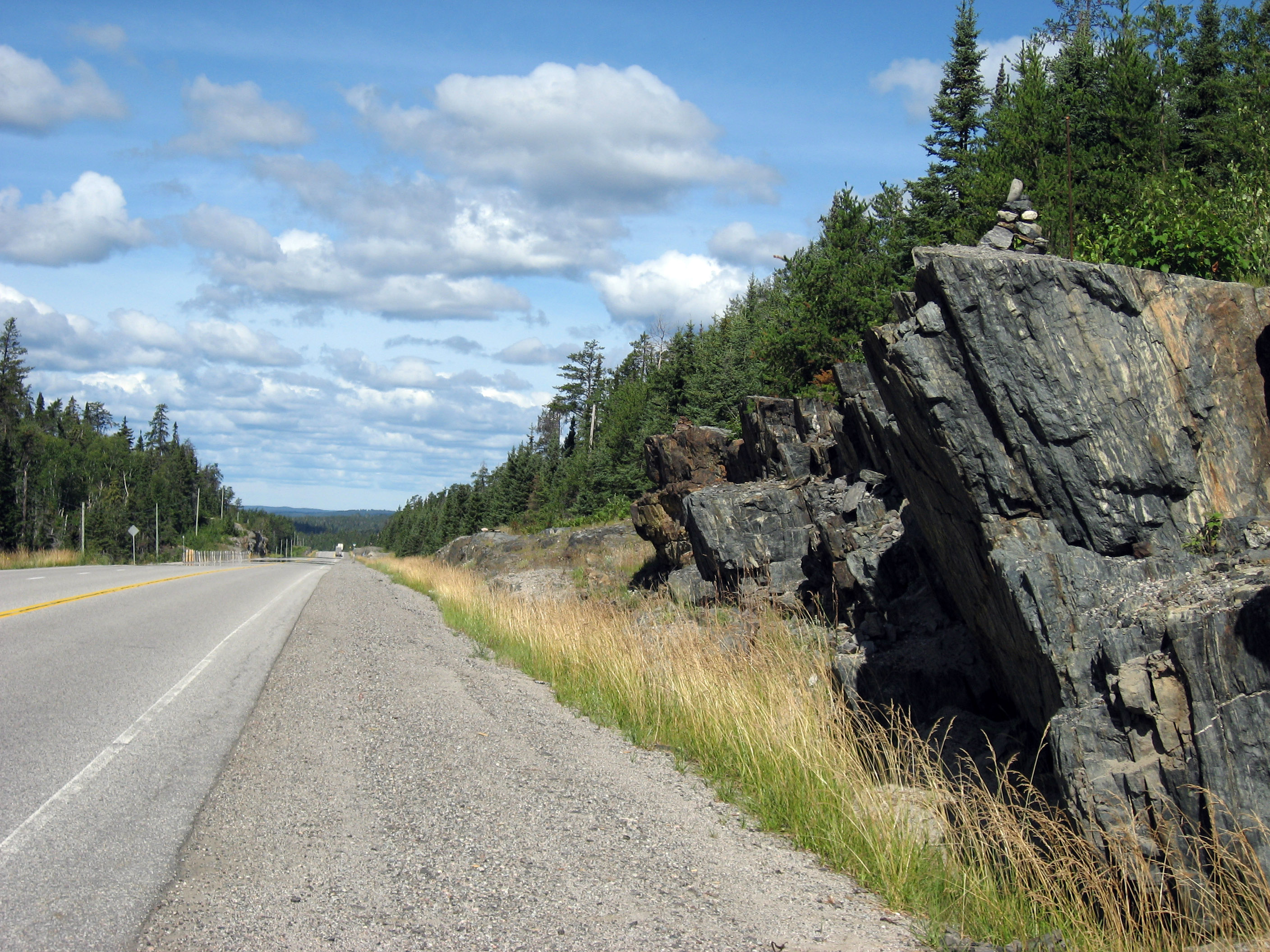
Some are very simple and small, you almost wouldn't notice them unless you were looking. See the one in the picture below?
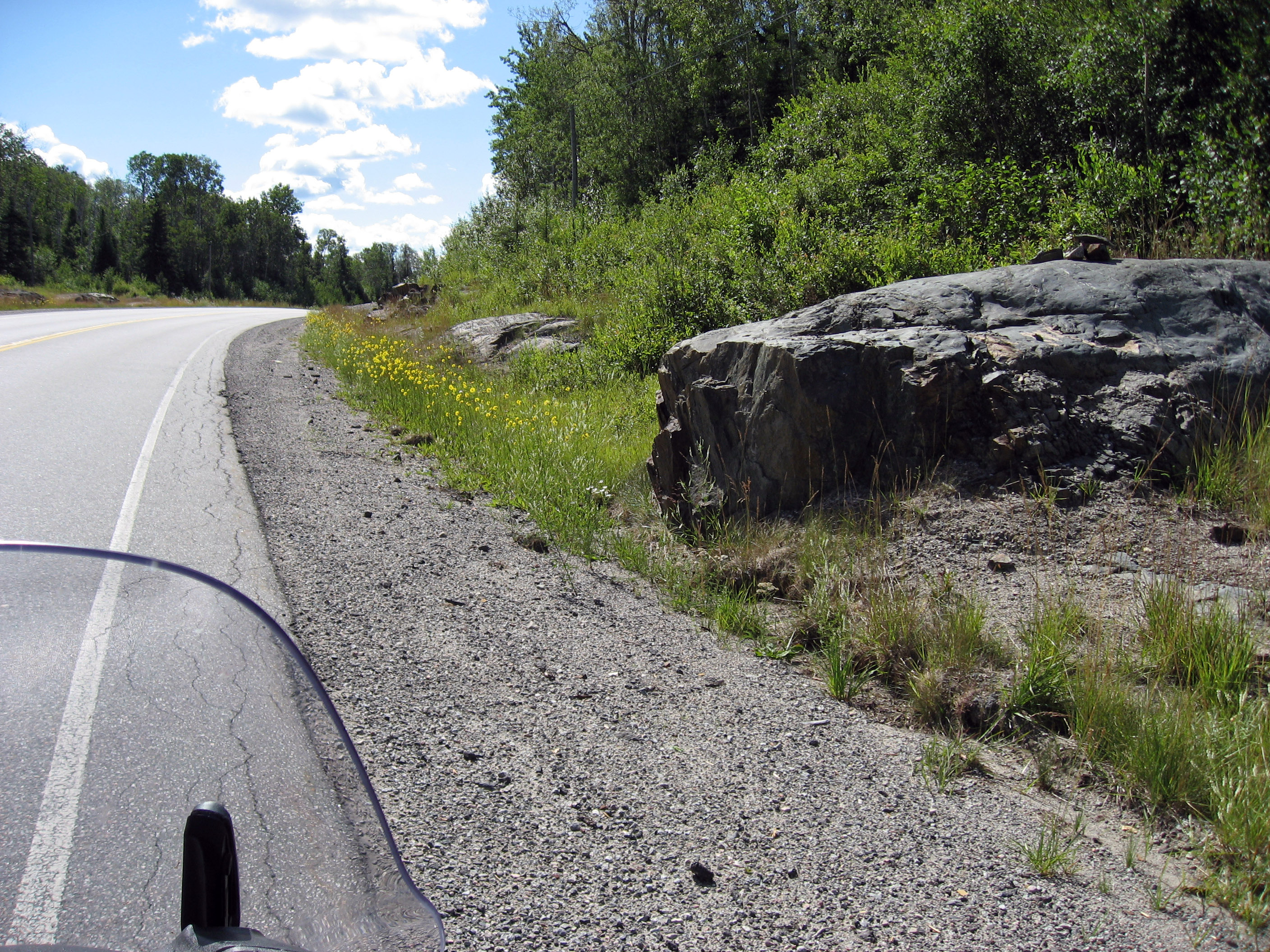
Another across the highway.
Sometimes they come in little groups, like the one below.
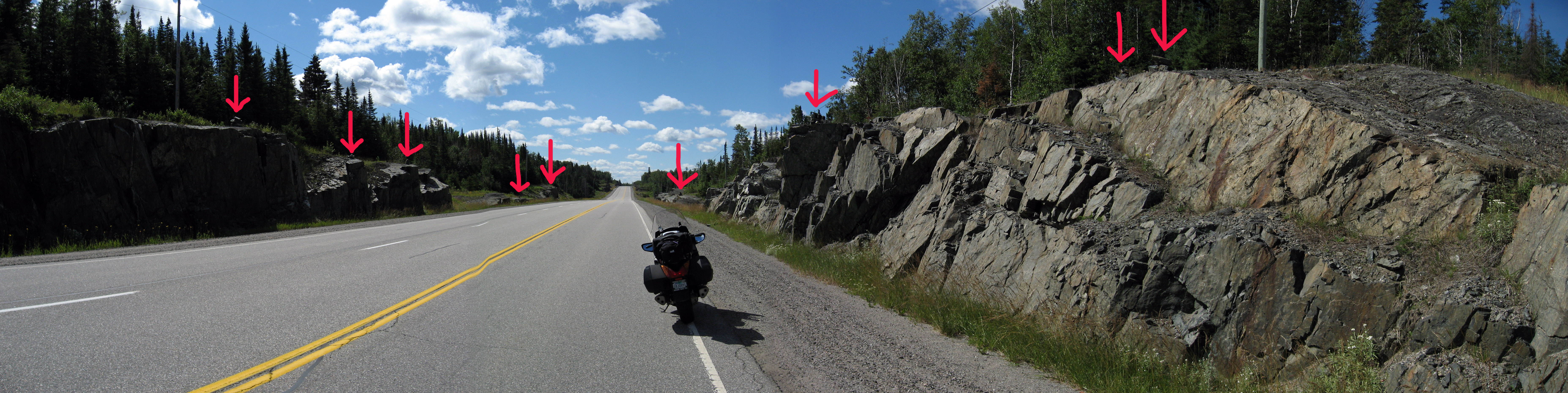
At this spot I took a panorama. Each red arrow shows a pile of rocks. Also I am IN THE MIDDLE OF NOWHERE!! Seriously, it's like 50 miles to the next town, it's kind of spooking me out.
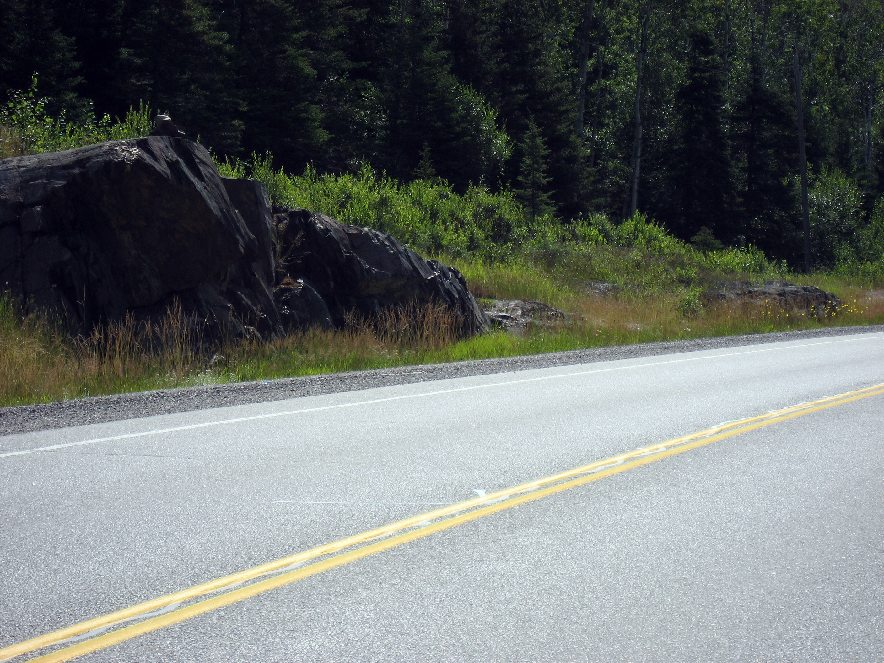
Final picture of one, after this I gave up and drove into Wawa.
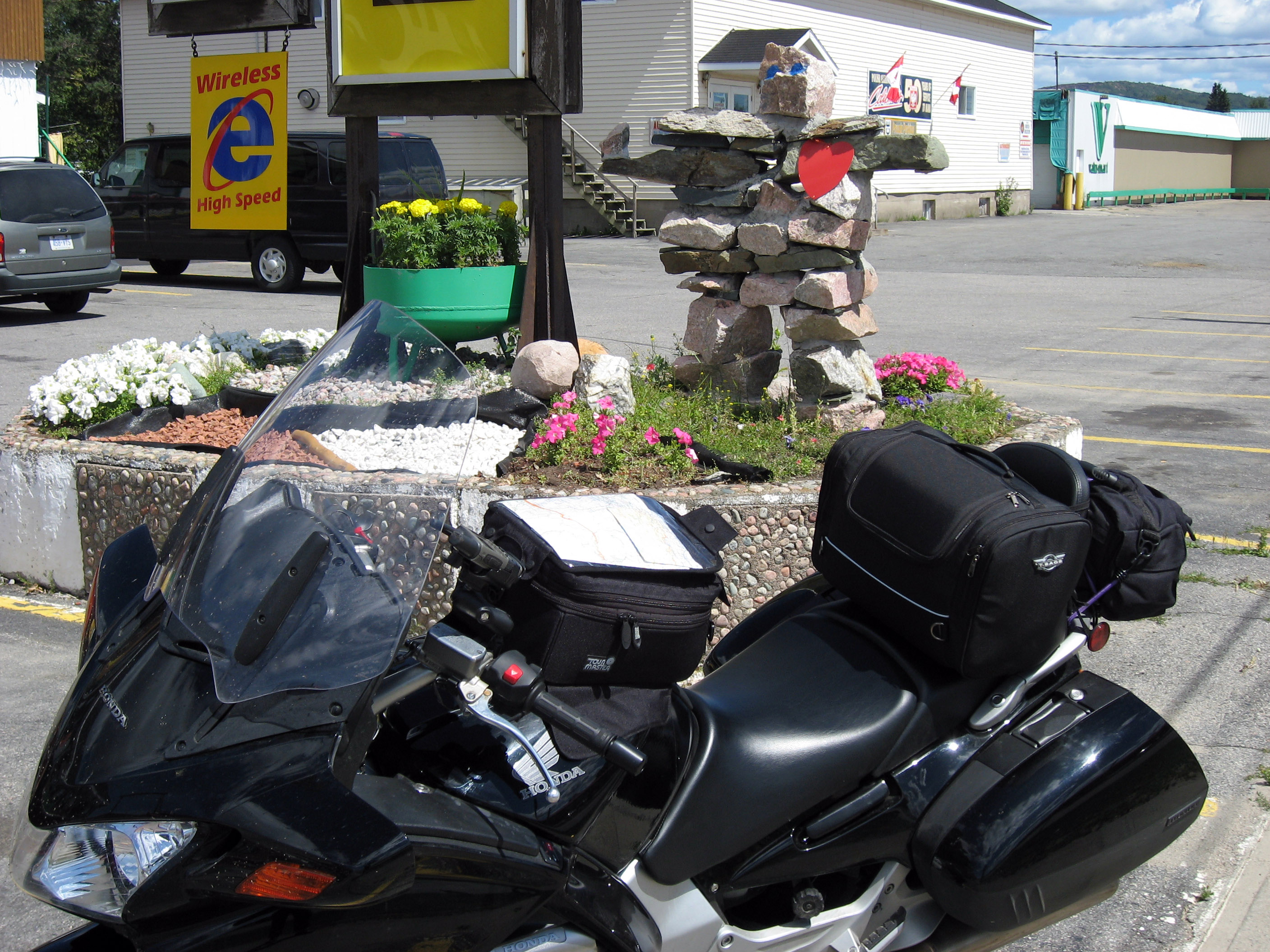
Below is a large stack of rocks outside of a hotel in Wawa, Ontario, Canada. I asked the locals what this is about, and they explained the little piles of rock are called "inukshuk" and this is an Inuit Eskimo/Native American/Indian thing. It simply means "I have been here", nothing more. I think it is nice, it doesn't disturb the scenery or nature much (like paint graffiti would), but quietly lets people know other people have been around. The locals mentioned they are mainly done by hitch-hikers, the Inuit wander through and they aren't a very rich group, traveling economy style.
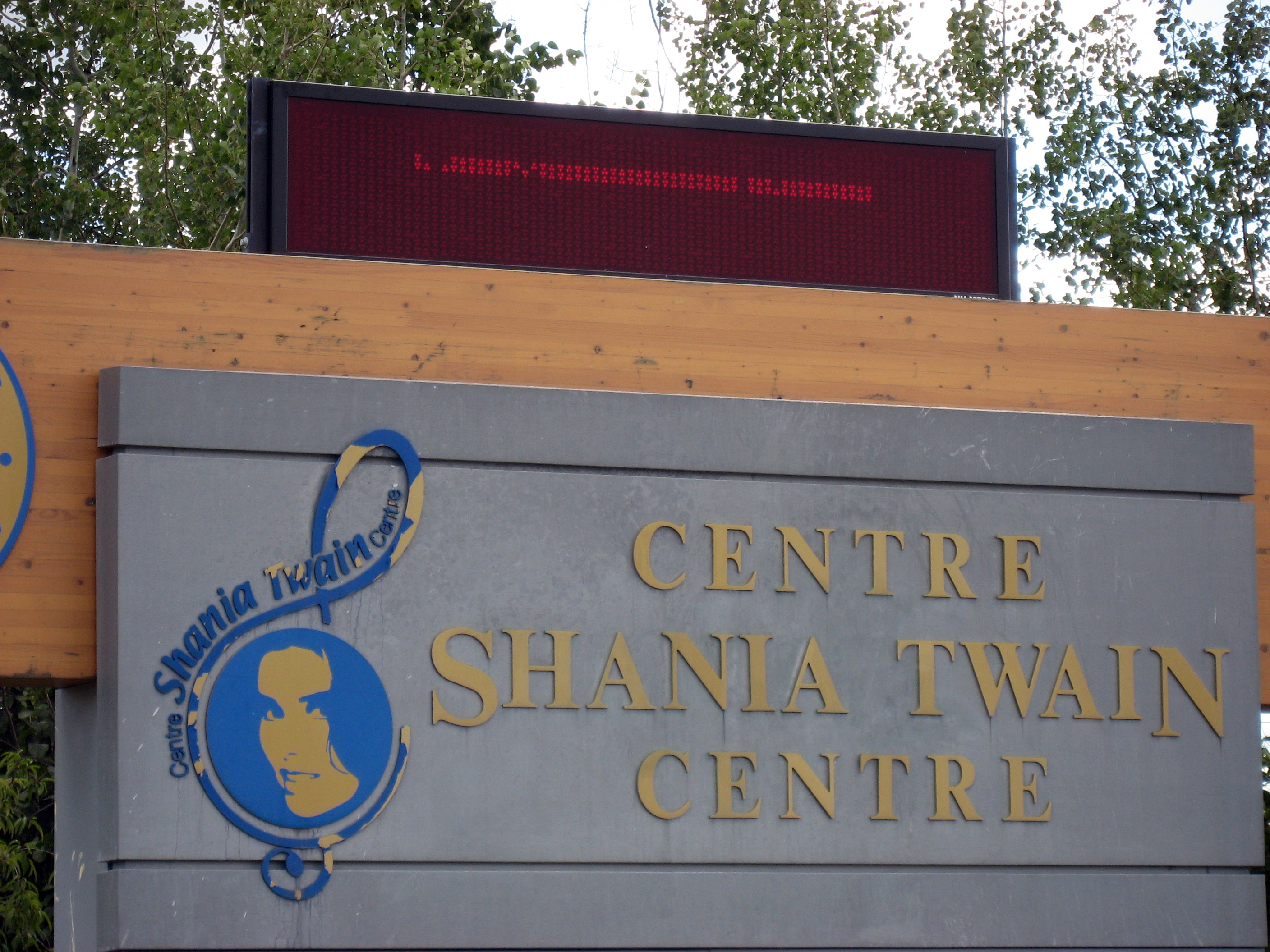
A little while onward, I passed through the town of Timmins, Ontario, Canada, which seems to be the birth-place of Shania Twain (a country singer). I thought it was funny they would point this out all over town.
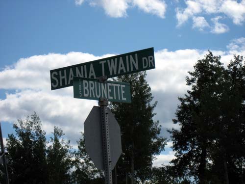
They even have a center whose purpose is to study Shania Twain (I think she did "I feel like a woman", and maybe one other hit).
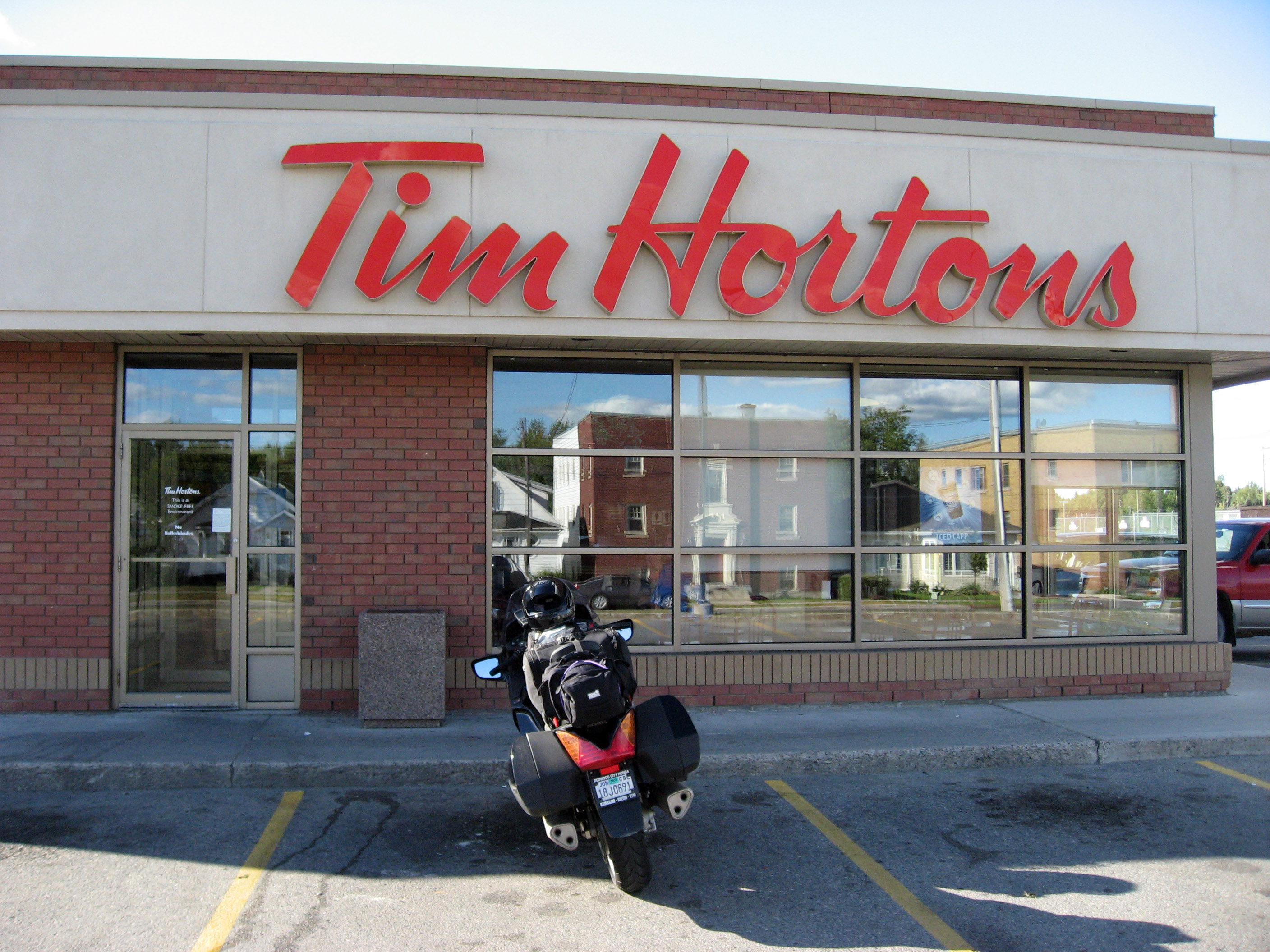
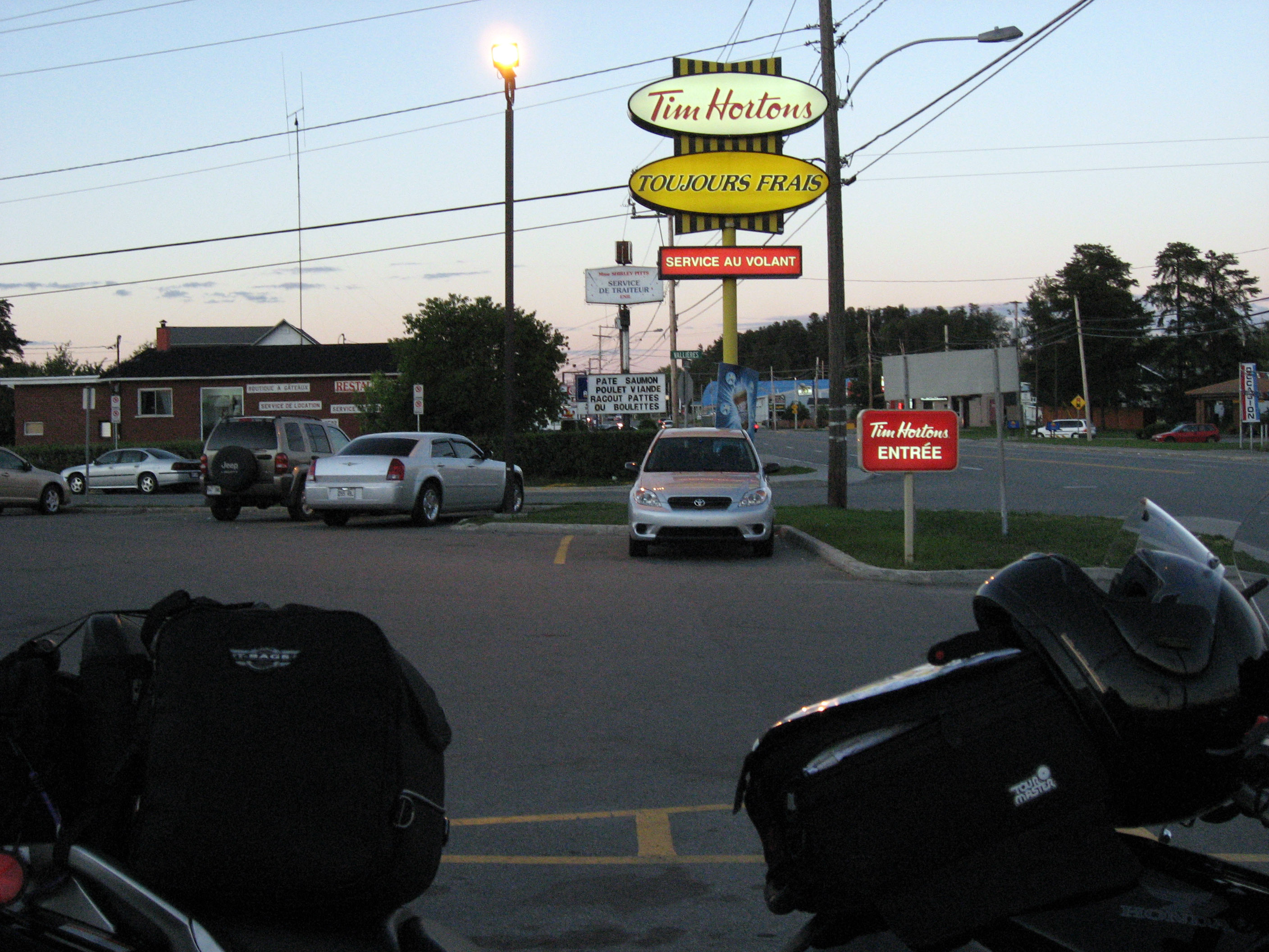
The Shania Twain town (Timmins) has 4 Tim Hortons!! That's amazing. It's like a tiny town with one main street, and you can see each Tim Hortons from the previous one!!
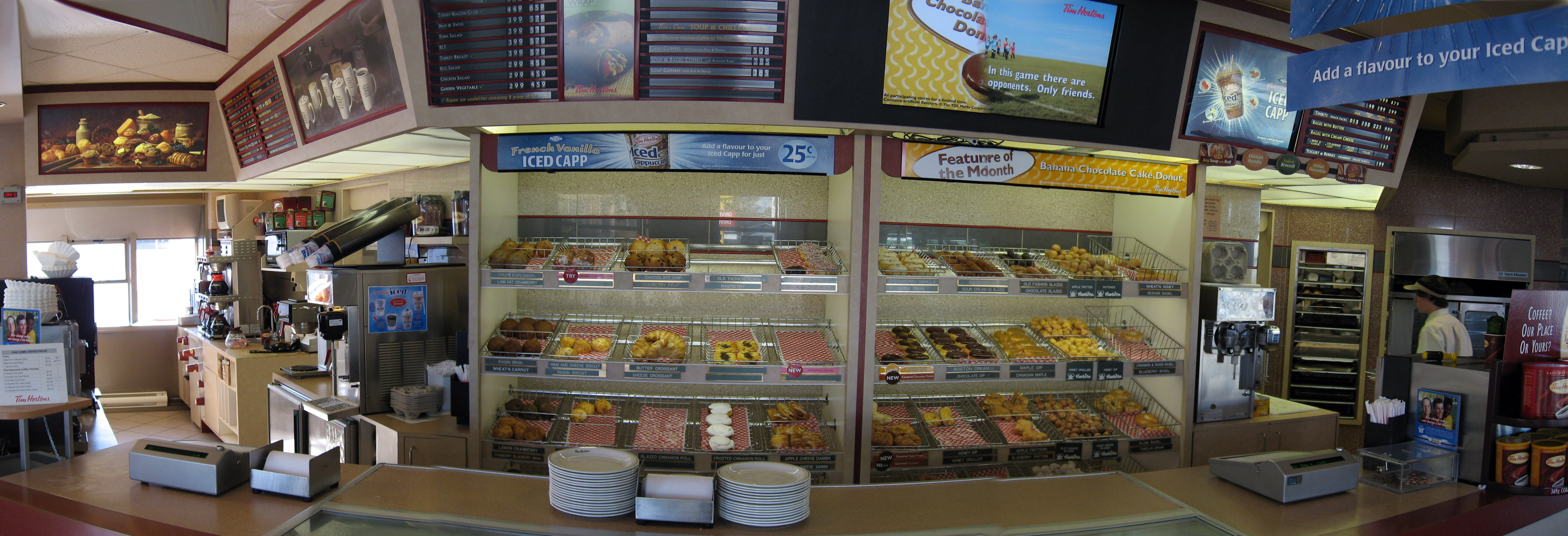
Here is the inside of a Tim Hortons. Donuts and fresh sandwiches. It's also SUPER clean, I've started using their bathrooms all over Canada. :-)
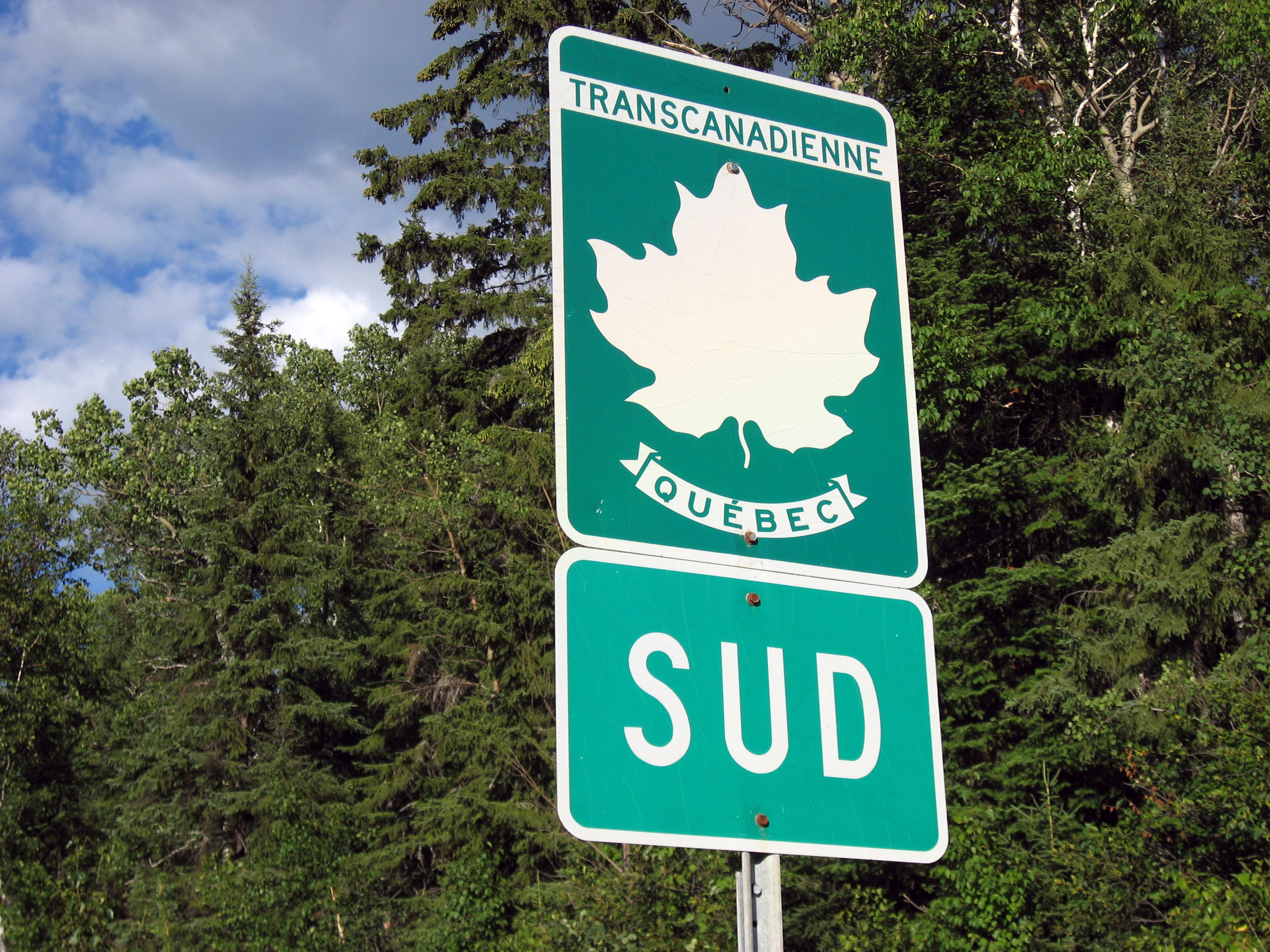
Here I am passing into Quebec! There is no "Welcome to Quebec" sign. :-( Just some little info signs, all in French.
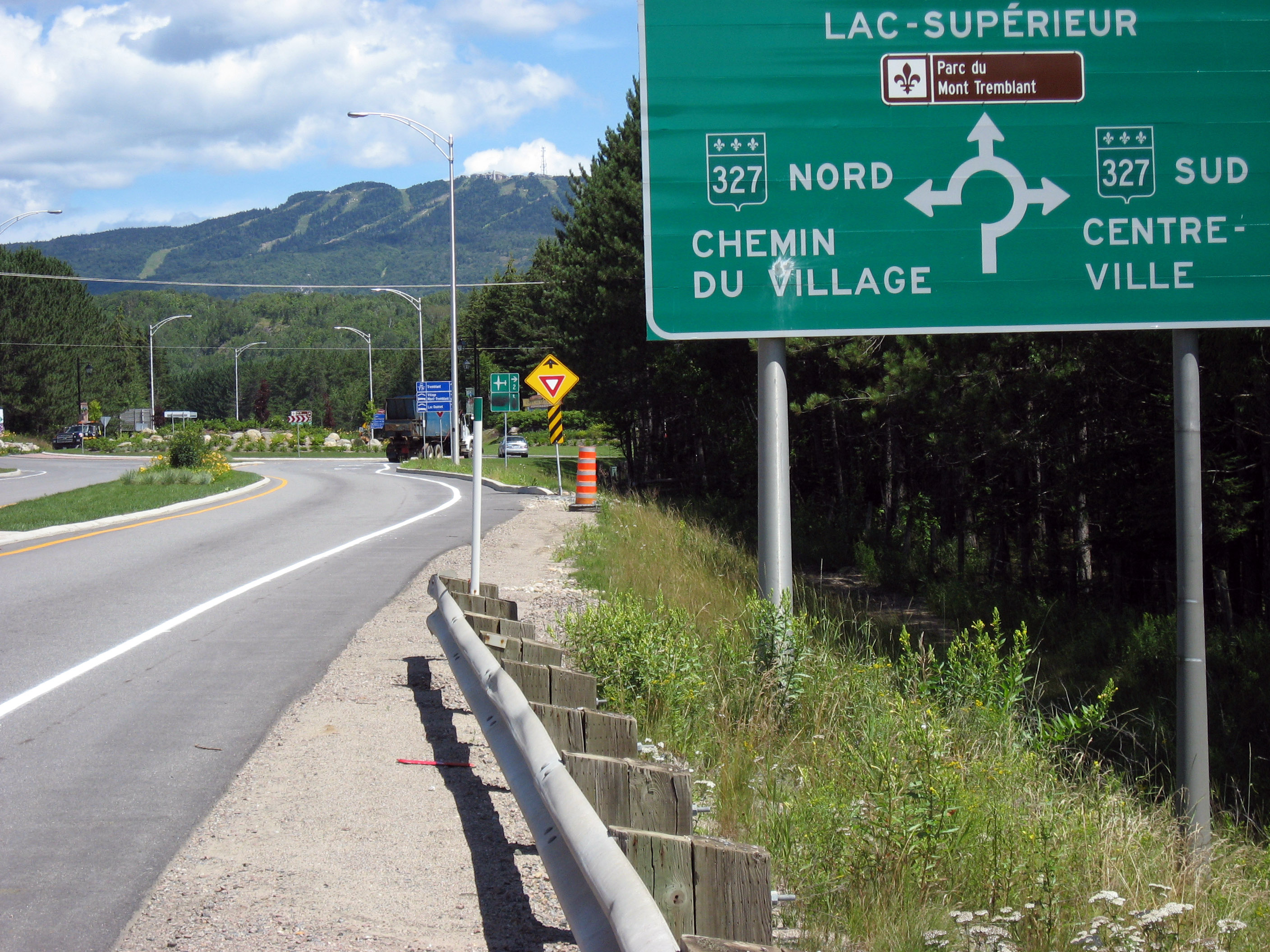
In Ontario, Canada seems to be "bi-lingual" where road signs are in two languages-> English and French. Cross into Quebec, and they are now mono-lingual -> all the signs are *ONLY* in French. It kind of surprised me, I assumed it was bi-lingual here also, but that's not the case.
An example, the Tim Horton's sign changes to "Toujours Frais" (this was "Always Fresh" in other than Quebec provinces).
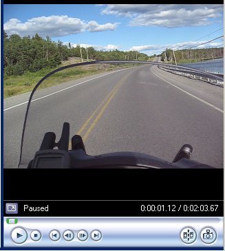
Experimental movie -> PROBABLY ONLY PLAYS ON WINDOWS COMPUTERS, and is very large (3 MB). Click on the image below to try to play it (since my server is a Mac, it won't serve up WMV files properly, so I had to zip it to hide it from Apple's OS). I'll work out the details and get it into a better format later. This movie was taken with my Canon SD700 IS (Image Stabilization) camera's "little" movie mode of 640x480 pixels. I'm impressed with the small package (and this has been compressed a little for the web, the original is even higher quality). This is an example of me driving my ST1300 down a Canadian highway.
On 7/24/06, Monday, I left Mont-Laurier, Quebec, Canada and took the short 2 hour drive on highway 117 to Montreal. I took a picture of the sign below to show that there are no English road signs at all in Quebec. I think this sign says "Go SUPER FAST and the deer will miss you when they jump out".
I *had* to take a picture of this. We really are in France! The sign is all in French, and there is a real honest European "Round-About" and everything.
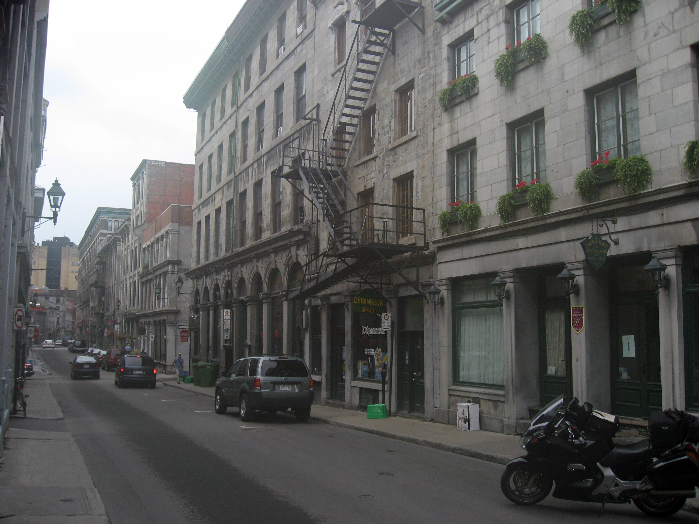
I took some pictures of "Old Montreal", which is a section of Montreal near the river that is very European, it looks very old.
On 7/25/06, Tuesday, I left Montreal, Quebec, Canada and drove first to the Canadian side of Niagara Falls, then down into the USA to Detroit Michigan to visit Ari Echt (my brother's wife's brother). I drove through Ottawa, Ontario, then took Canada Highway 7 down to Toronto. There were some rain flurries on that ride, and my Garmin GPS has stopped working since it got wet. :-( It is waterproof, but maybe between the 70 mph drop earlier and the 70 mph driving rain it gave up the ghost. After I hit Toronto, it was a quick highway shot over to the Canada side of the Niagara Falls for sunset pictures, then back over on Canada Highway 3 westbound for several hours to reach Detroit, Michigan to visit Ari Echt.
Oh yeah, I wanted Tim Nufire to read all these pages, so by mentioning his name it will magically draw him in. Hi Tim Nufire! Tim Nufire used to work for MailFrontier.
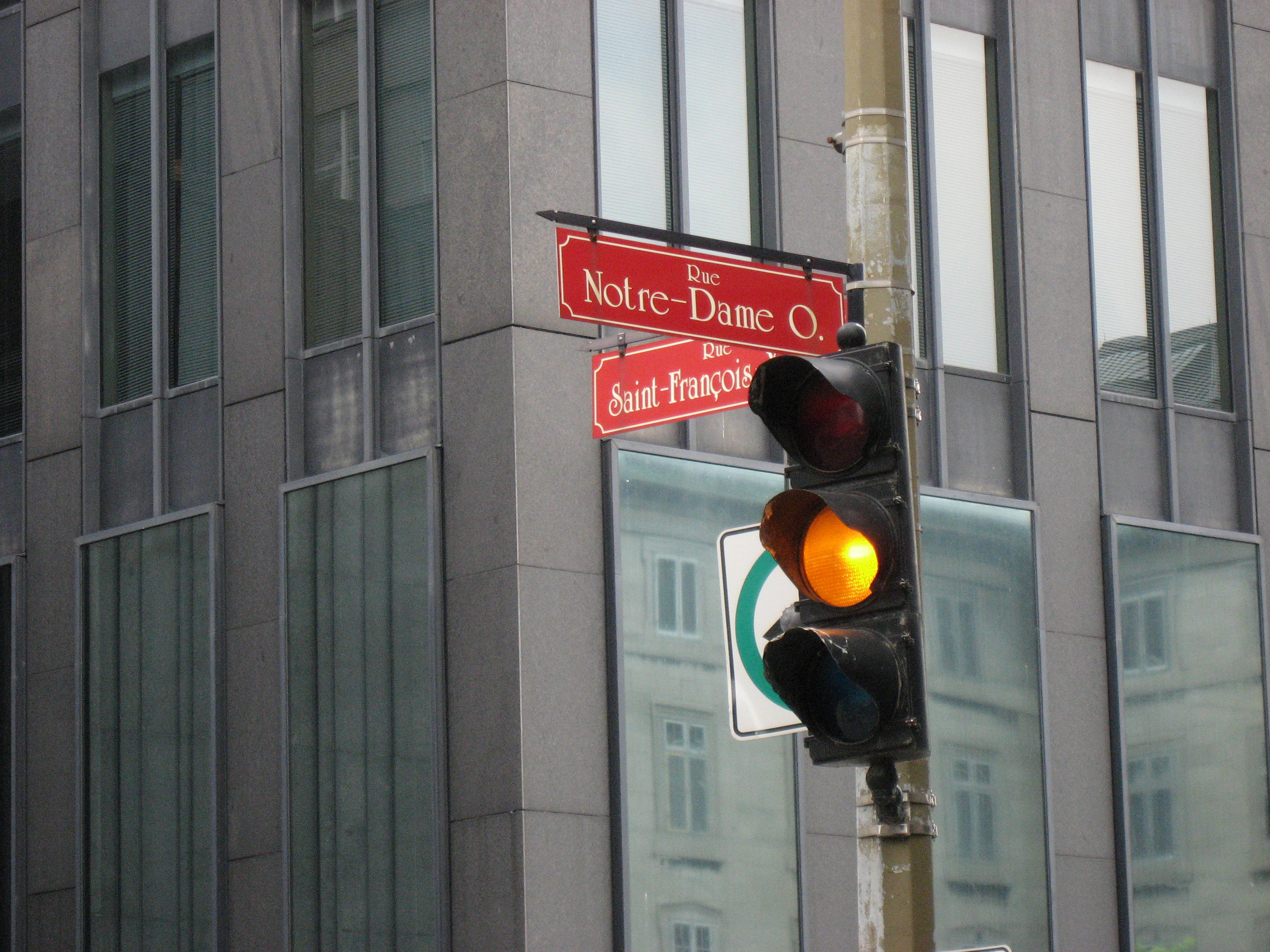
At the corner of "Rue Notre-Dame" in Old Montreal...
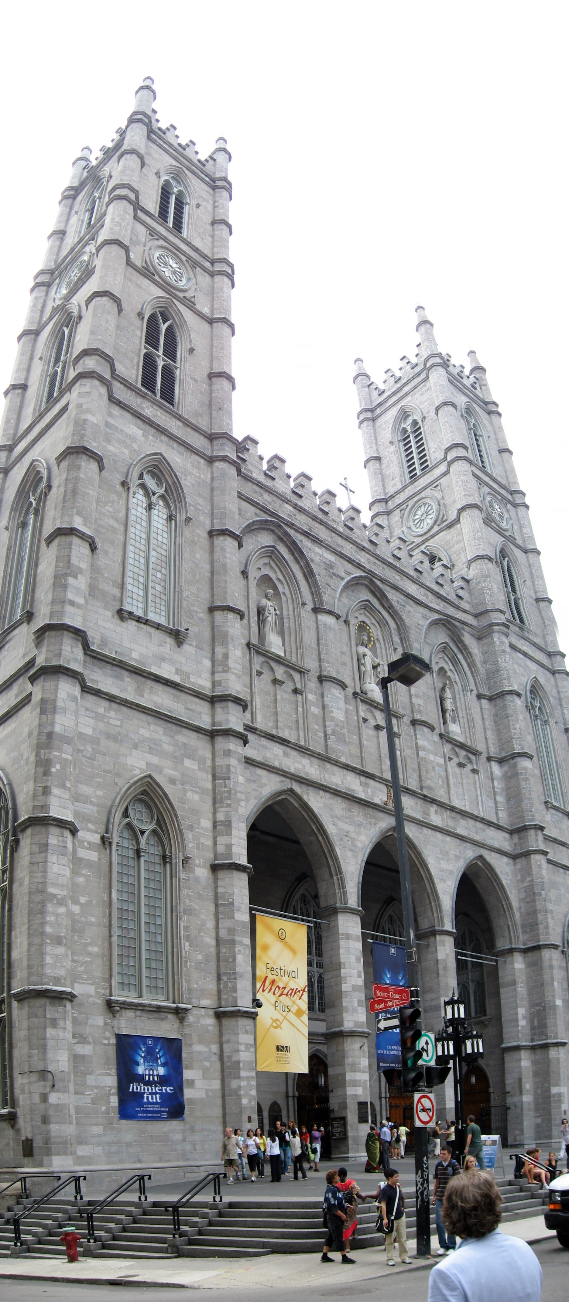
Is a copy of the Notre Dame from Paris.

Below is a taller version to see the whole Notre Dame knock off.
This is a picture from a back street, showing the European look of the small, cramped streets of Old Montreal.
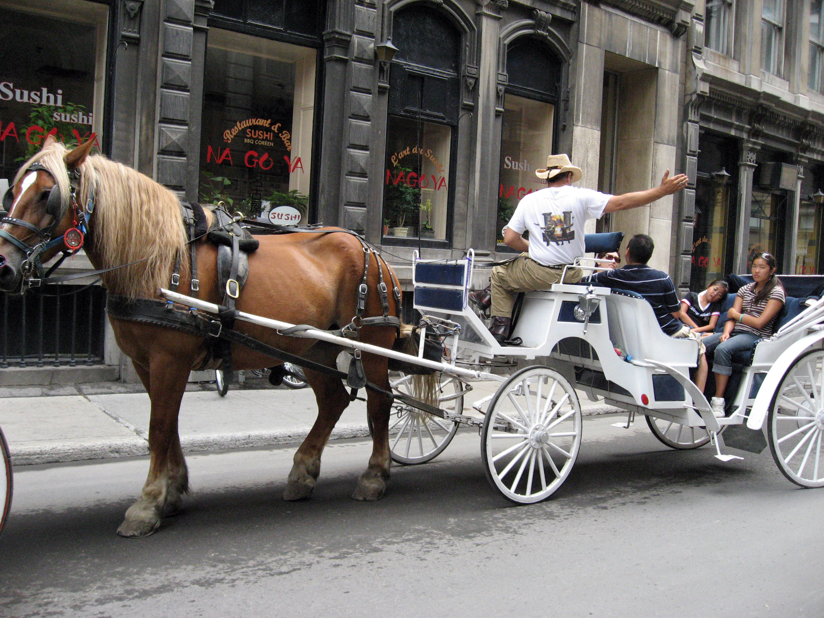
In front of the Notre Dame you can pick up a carriage ride.
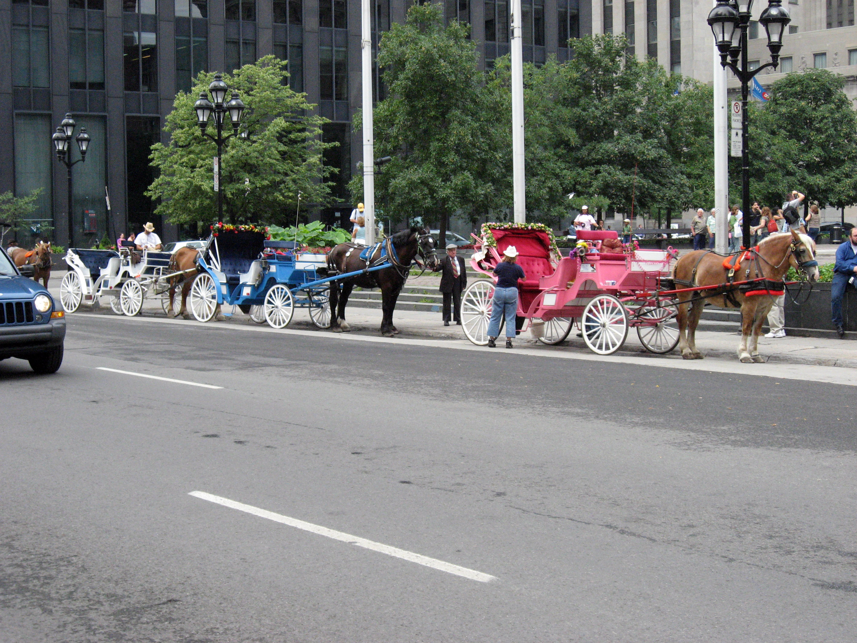
A close up of one of the tours.
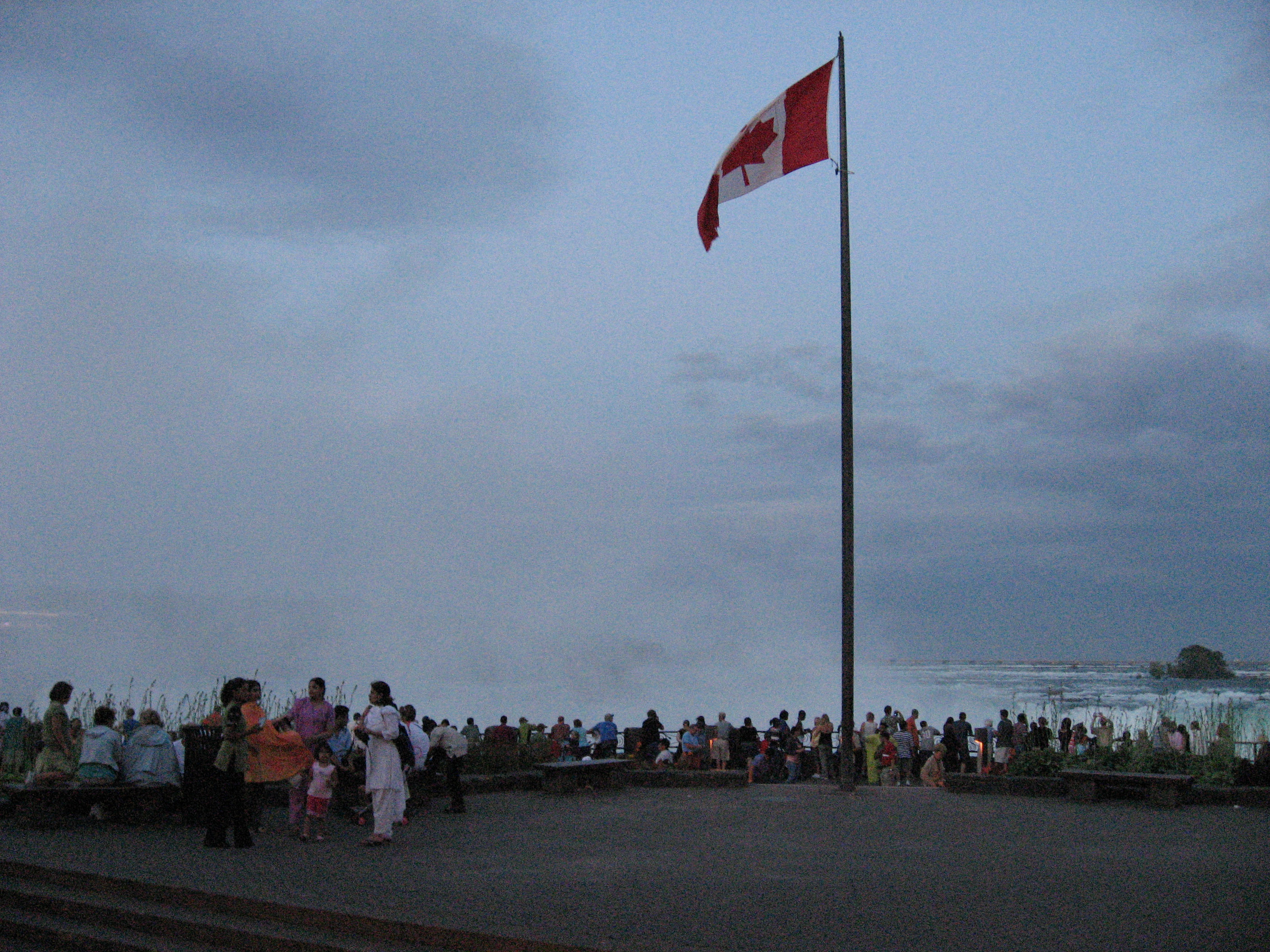
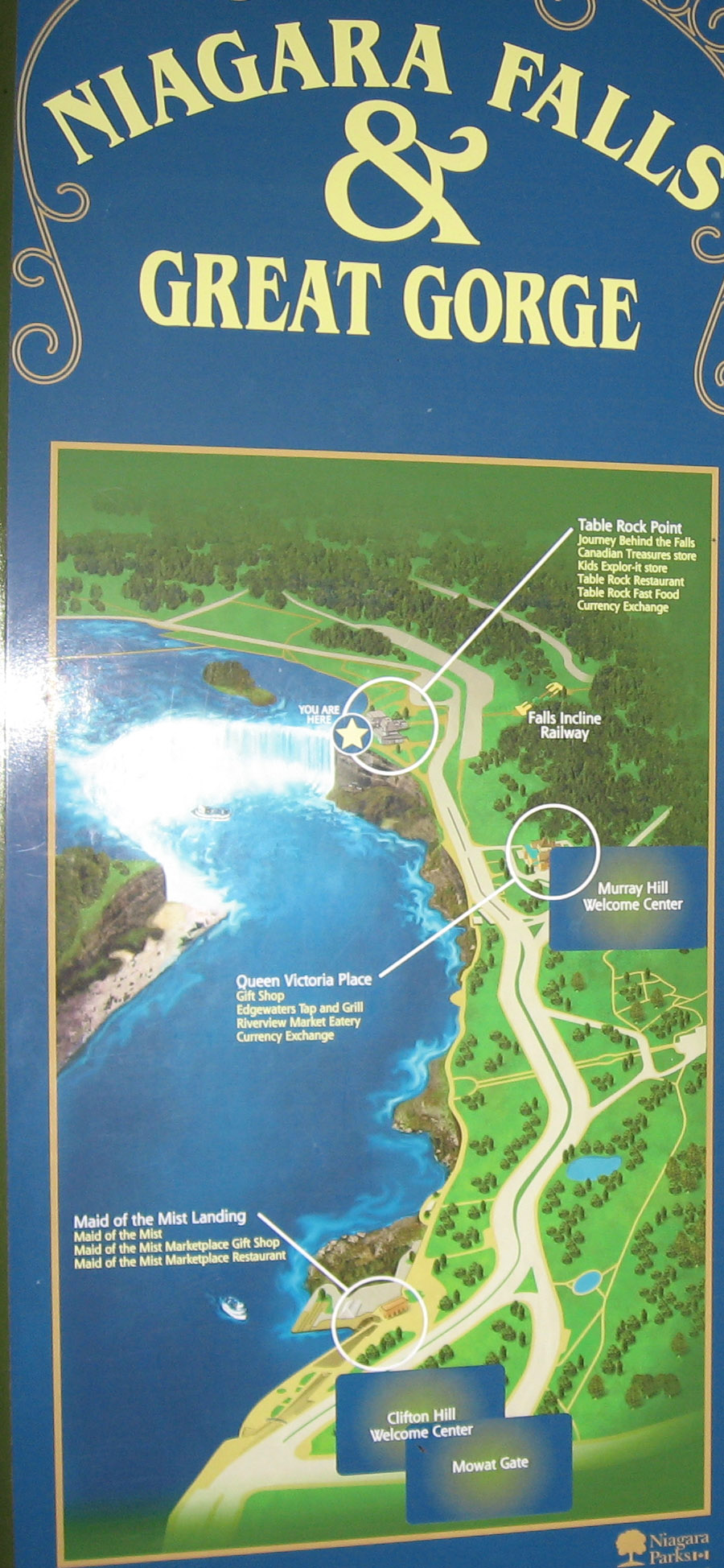
On 7/25/06 (Tuesday) I got up and first drove to the Canadian side of Niagara Falls. Below is the picture proving I didn't leave Canada. :-)
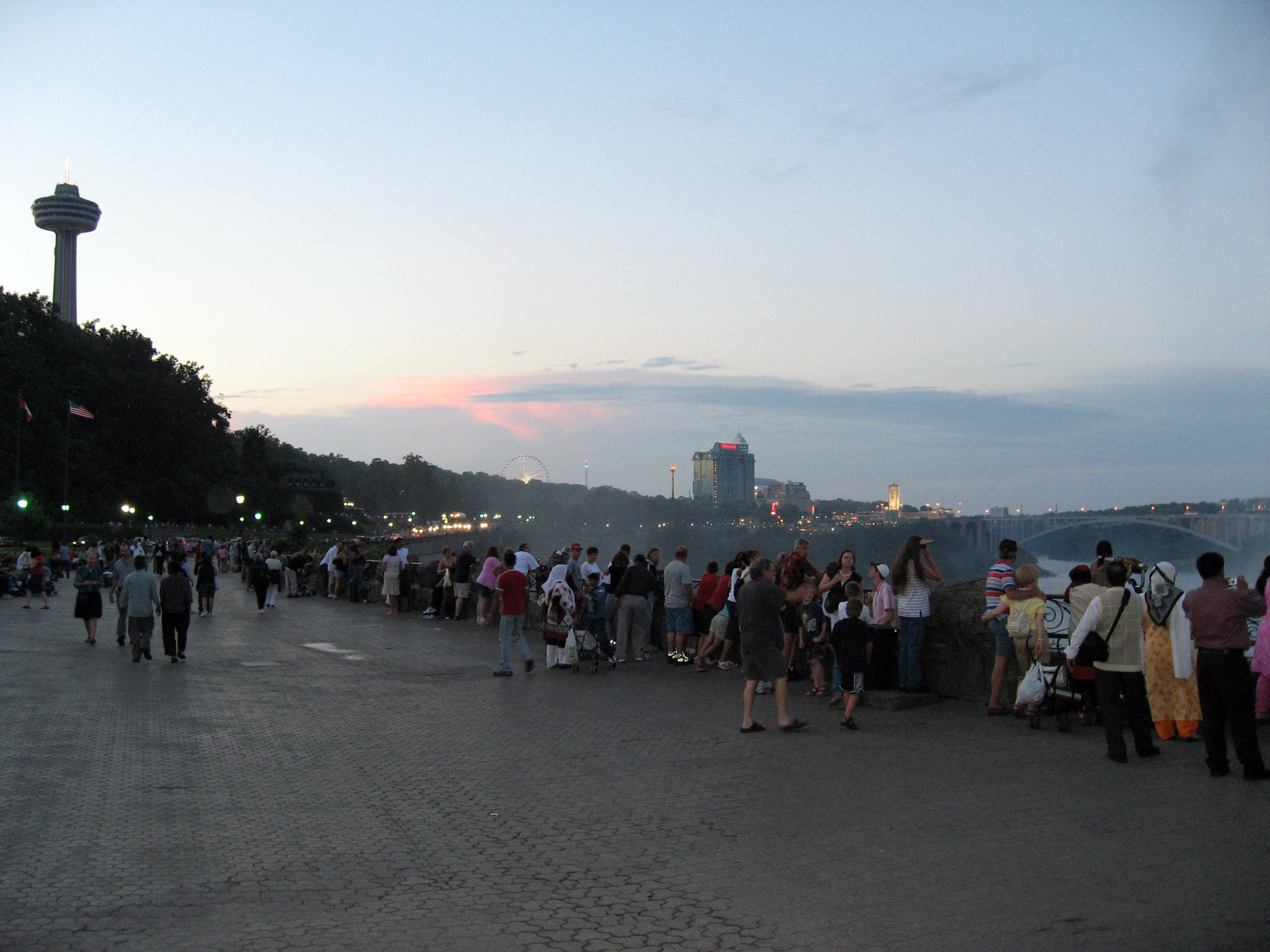
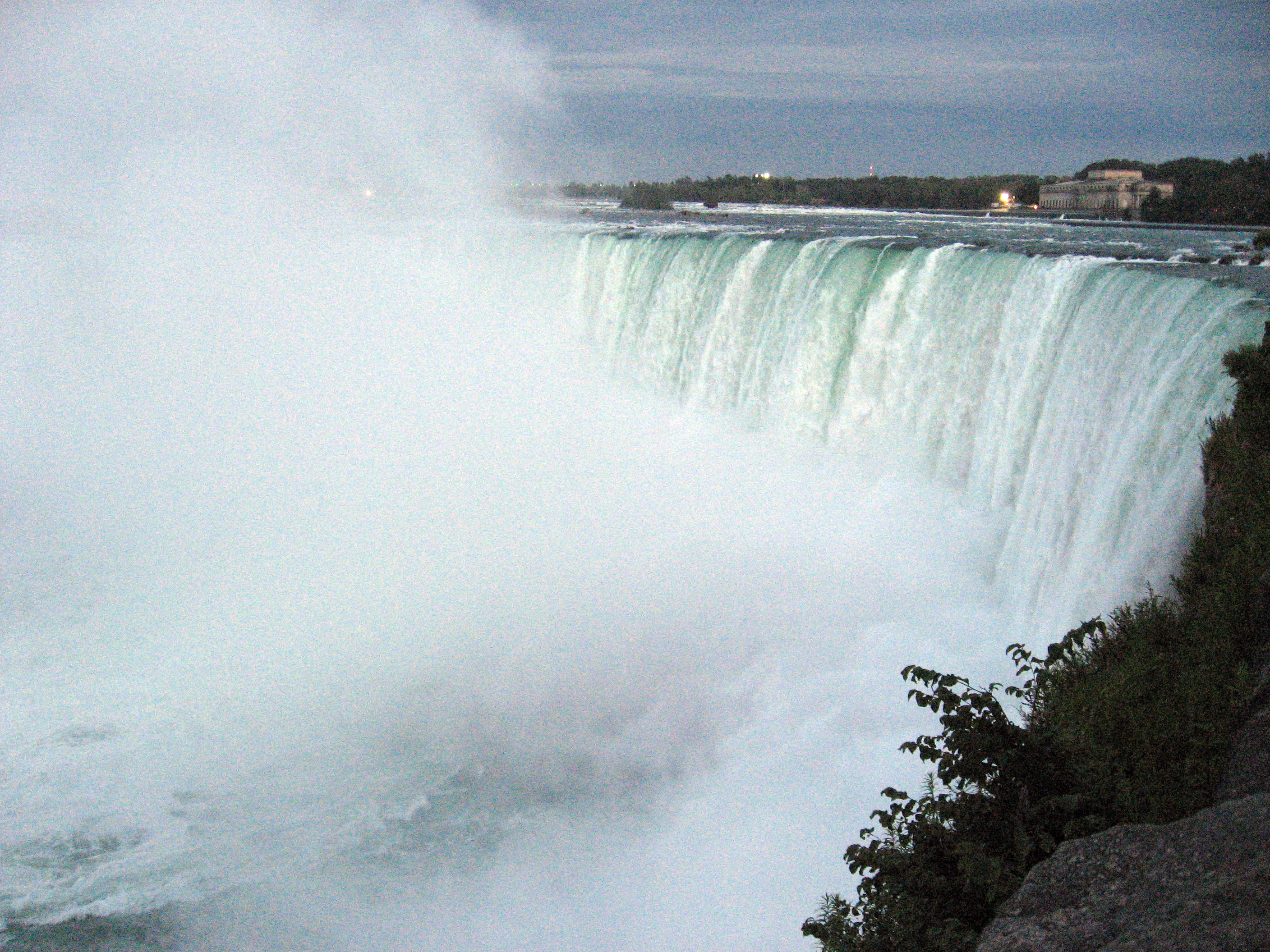
I arrived just as the sunset happened, so forgive me if the pictures are a little dark. Below are the falls.
I'm not really the first person to take a picture of Niagara Falls. :-) Below the crowd all with cameras.
Click on the image below to play a movie showing the Niagara Falls (includes the roaring sound). (Since my server is a Mac, it won't serve up WMV files properly, so I had to zip it to hide it from Apple's OS).
A couple of signs from the Canadian side of Niagara Falls.
Another sign from the Canadian side of Niagara Falls.
The sun is going down, they begin to light up the falls with big colored spotlights (you can't see the spotlights in the picture below, just the sun going down).
One more picture from the Canadian side of Niagara Falls.
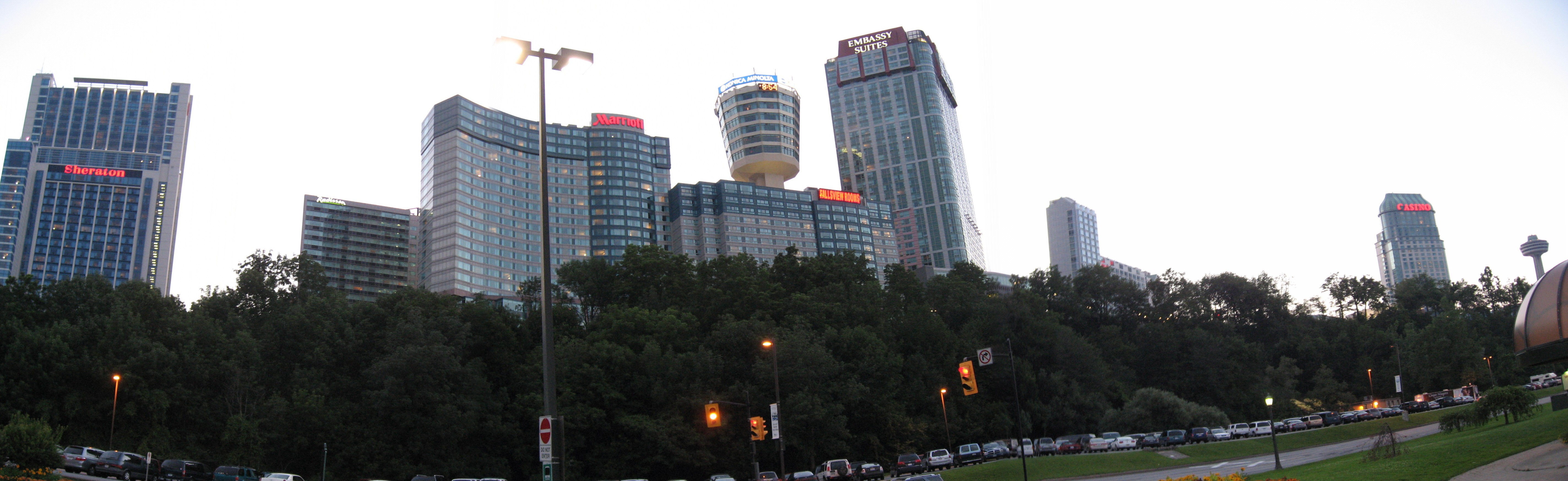
Not in most photos is this row of hotels and a Ferris wheel, I thought it was interesting how modern they look, and the side with the Falls is kept pristine and natural.
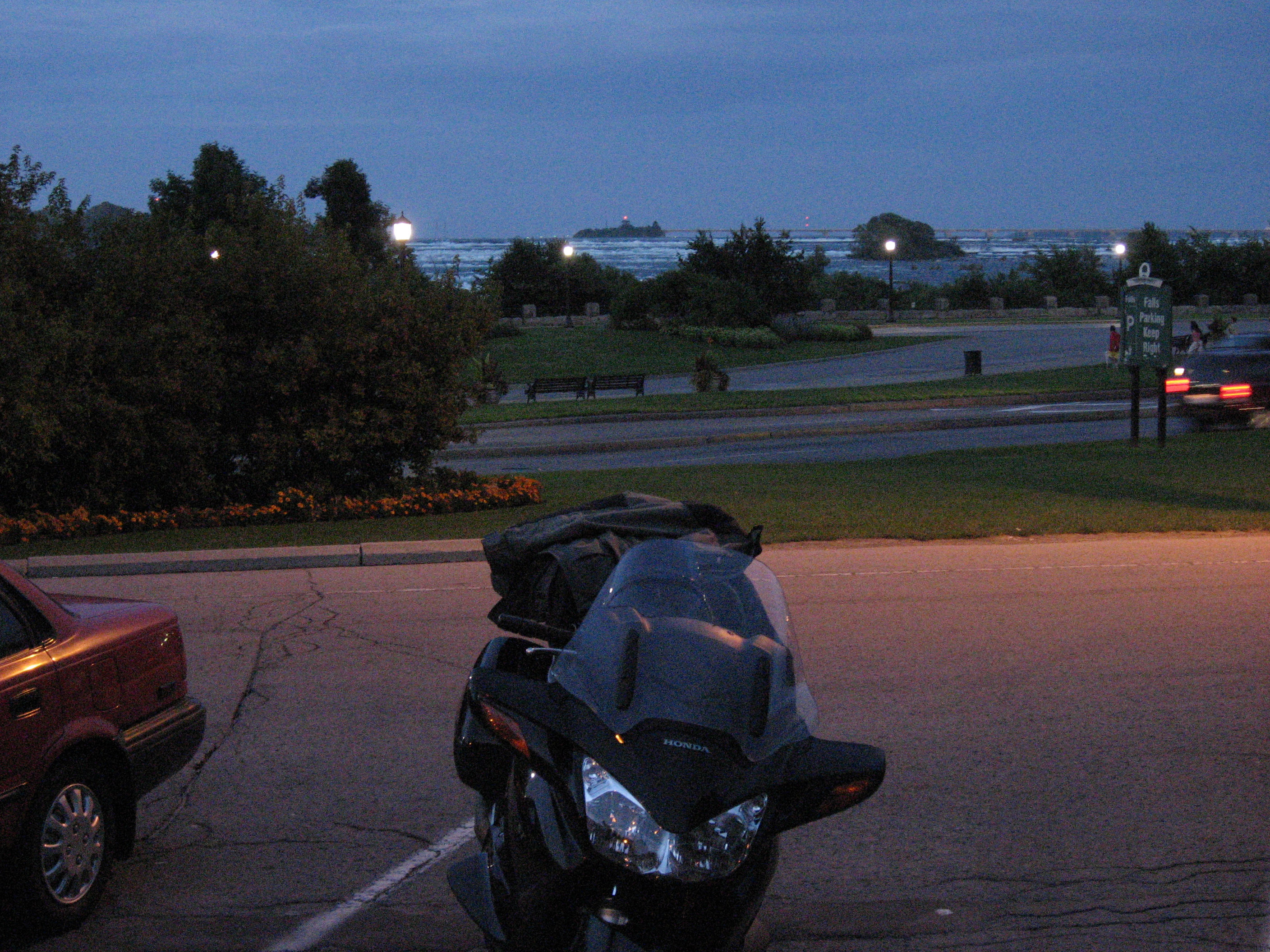
The sun sets, and I had to get a photo of the Canadian side of Niagara Falls with my motorcycle in the picture. You can just see the falls (the "white" directly above the Honda ST1300 motorcycle).
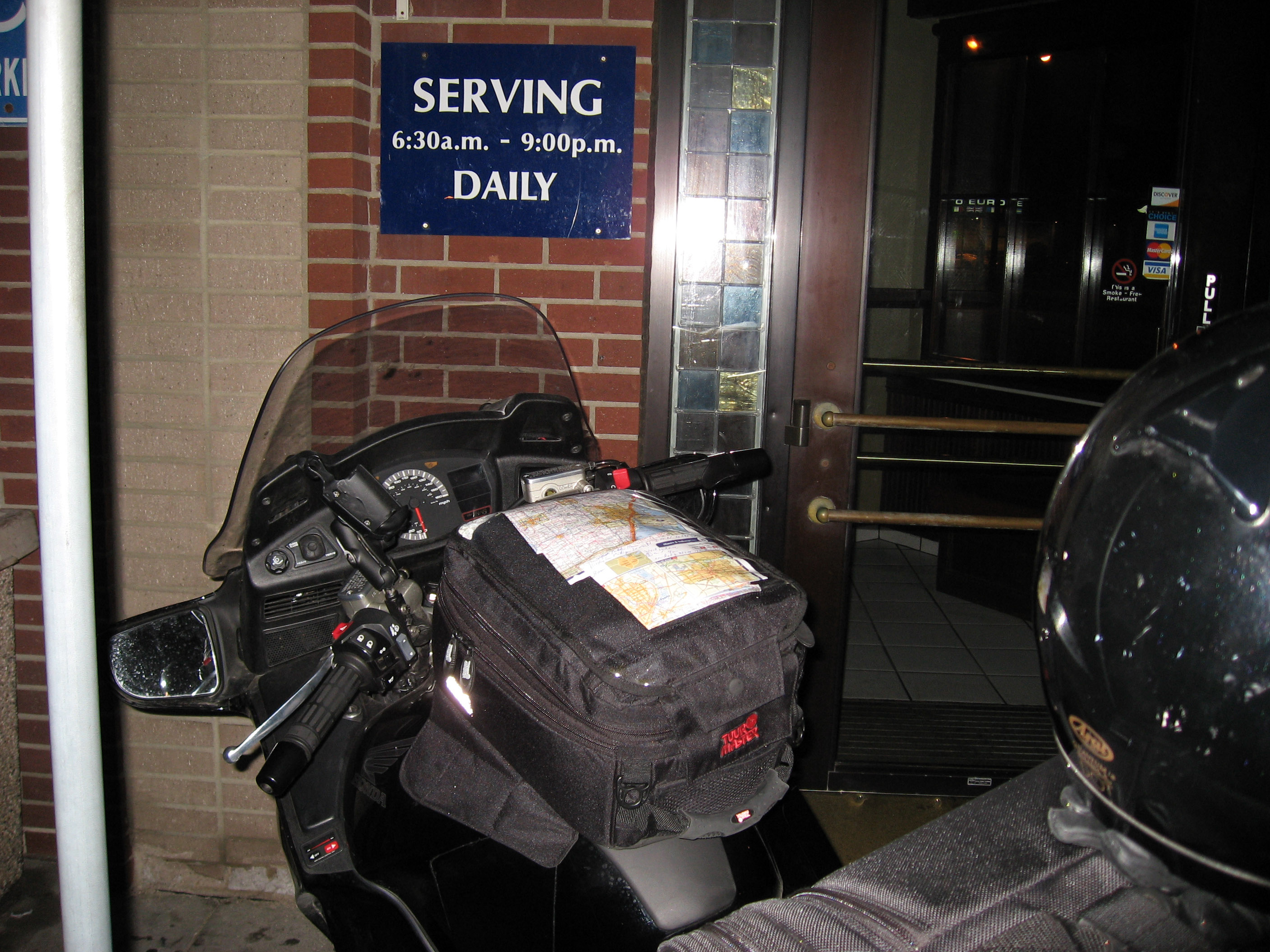
As the sun went down, they lit up Niagara Falls with these big spotlights, it was very pretty. I walked back to my motorcycle, and picked up my cell phone messages where Ari Echt explained where we could meet for breakfast at 8am in Detroit, Michigan, back in the United States. Yep, I'm not really planning this trip very far ahead. :-) So here is a picture of how I lay out my route for the next 6 hours of driving to make our rendezvous. That GPS is broken, so I'm just using it as a paper weight to hold down the old fashion map.

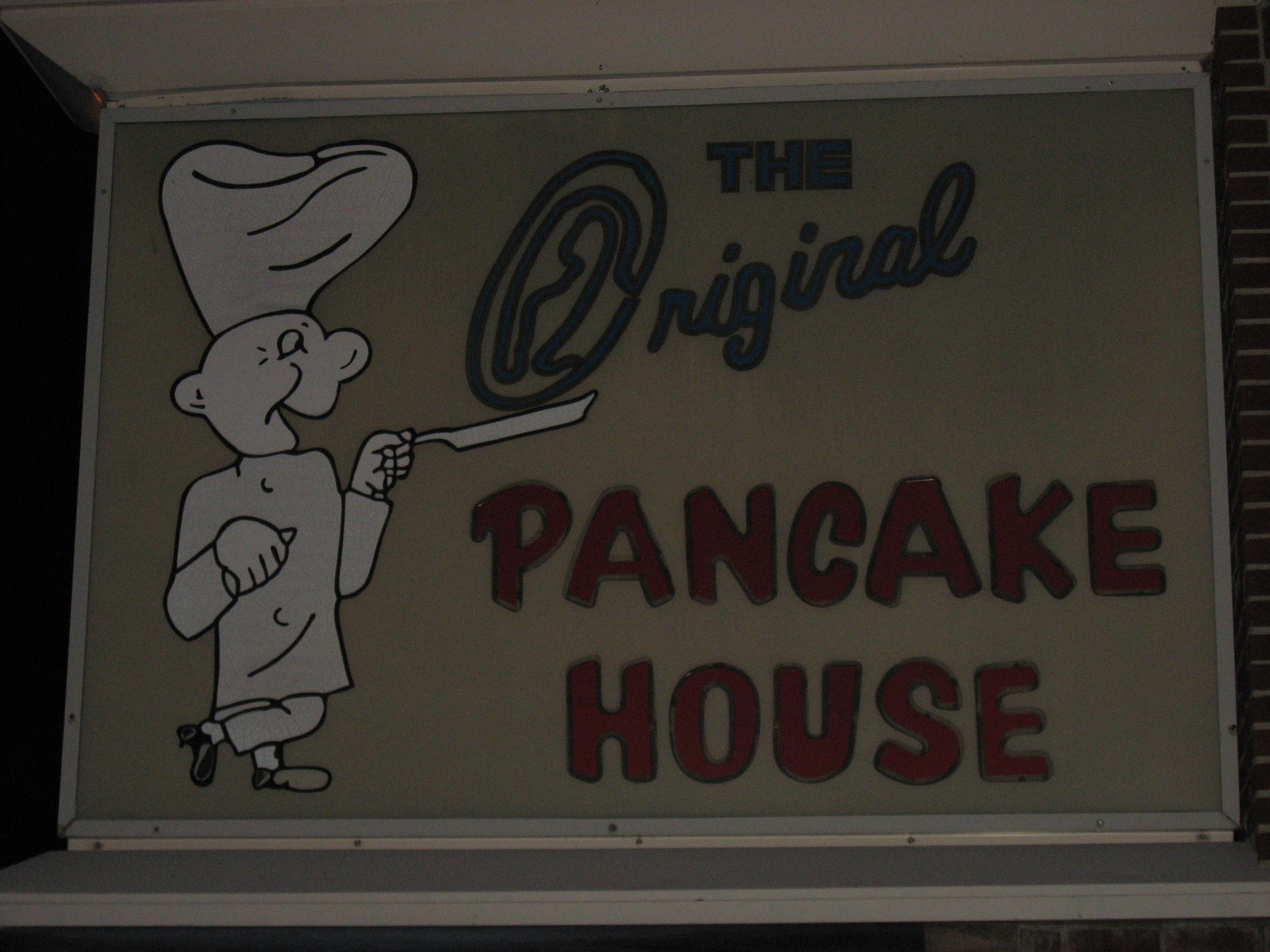
I arrived at the pancake house at 5am, and it isn't even open yet! D'Oh!
Nowhere to sit down....
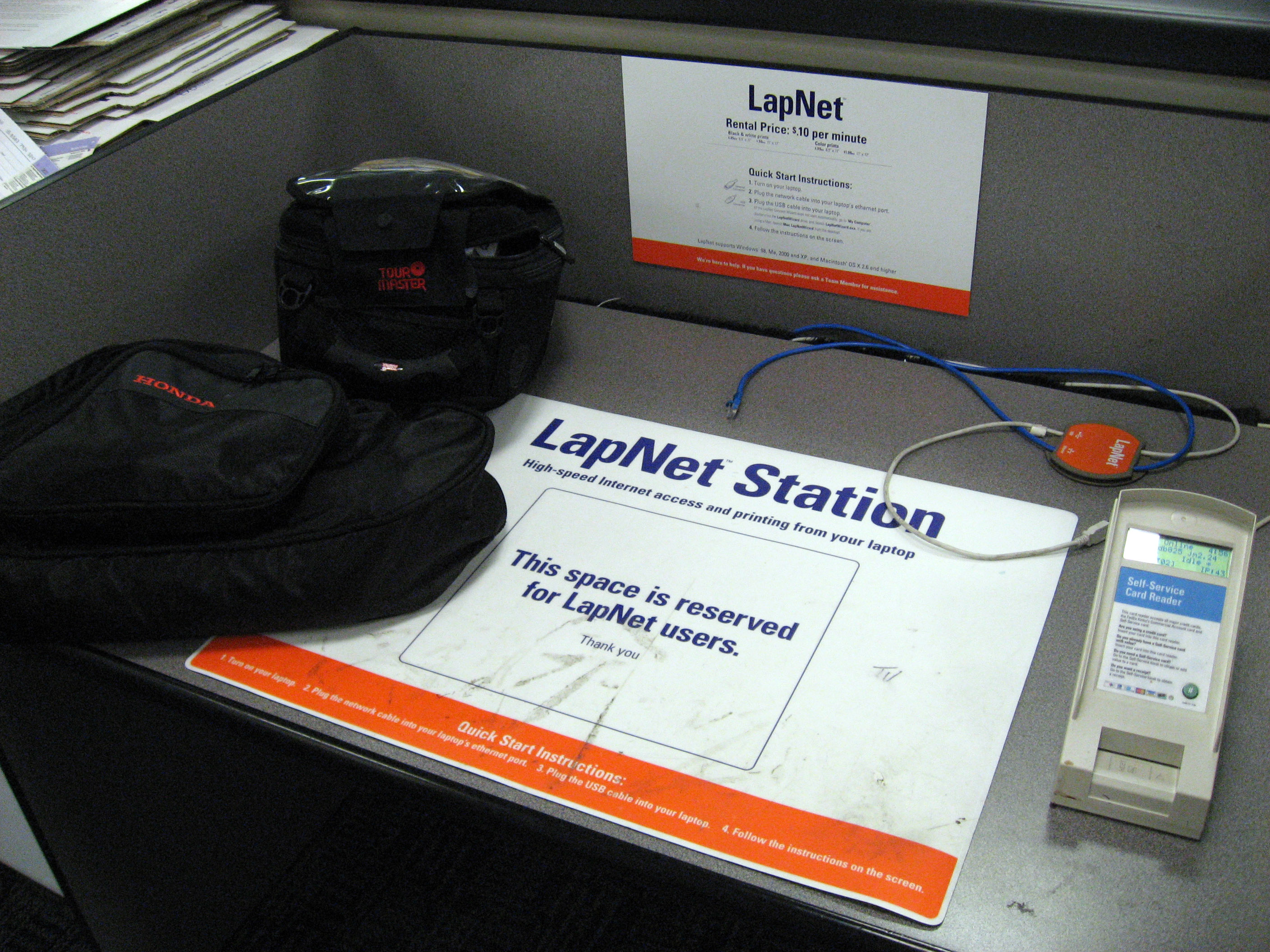
So back up the street a couple blocks is a Kinkos! Let me put in a good word -> open 24 hours, and they have a laptop area all setup for me, as I type this the sun is coming up and I have to go meet Ari for breakfast today (7/26/06 - Wednesday).
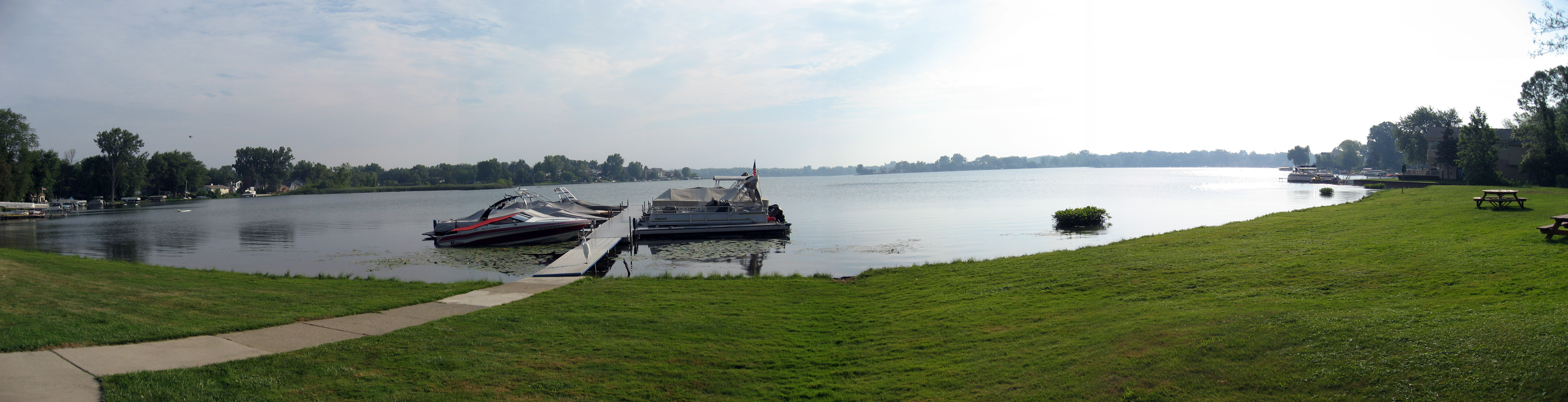
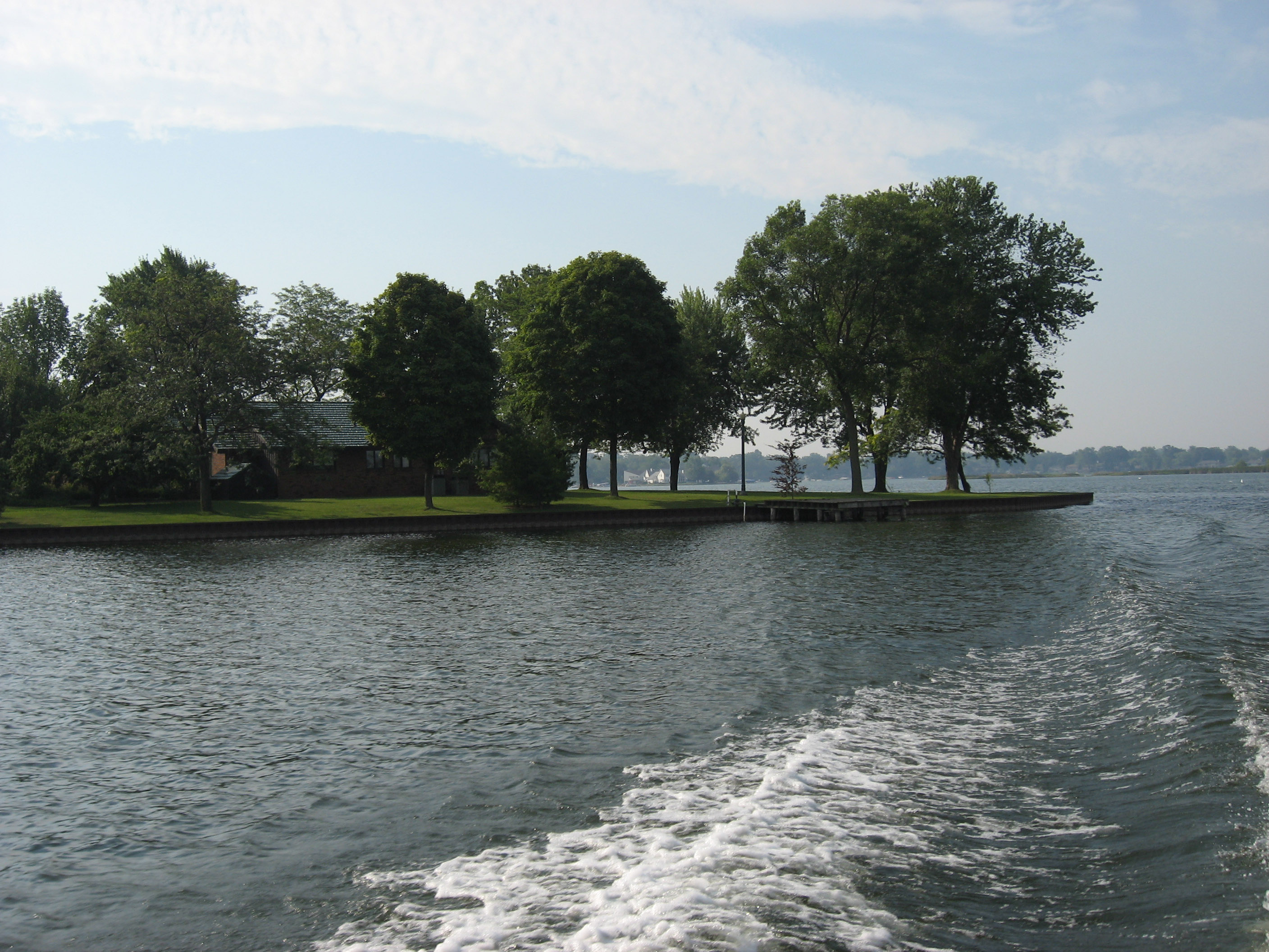
That morning (7/26/06) Ari Echt took me for a quick boat tour around the lake he lives on (he lives right next to the lake). Below is a panorama of their boat dock and lake which is right out of his front door. This is "Cass Lake" and it is in the town of Keego Harbor, Michigan which is a suburb of Detroit, Michigan.
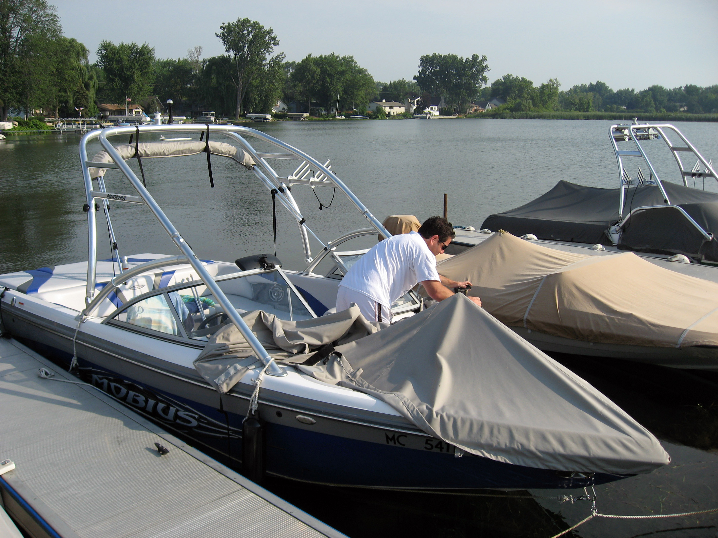
Ari uncovering his boat, which is a ?? brand manufactured in ??. It is a "wake board boat" for towing people on wake boards behind it.
Ari backing the boat out of the slip.

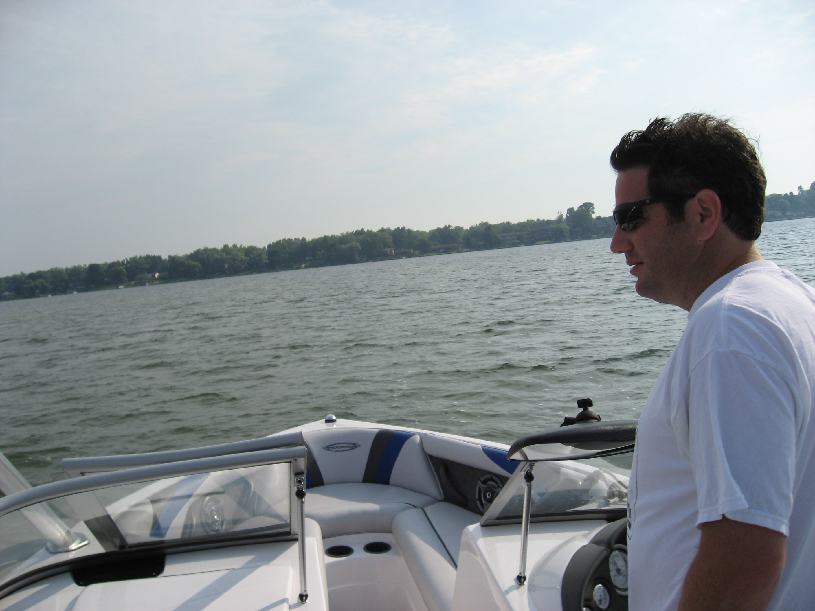
And here we are headed out over open water.
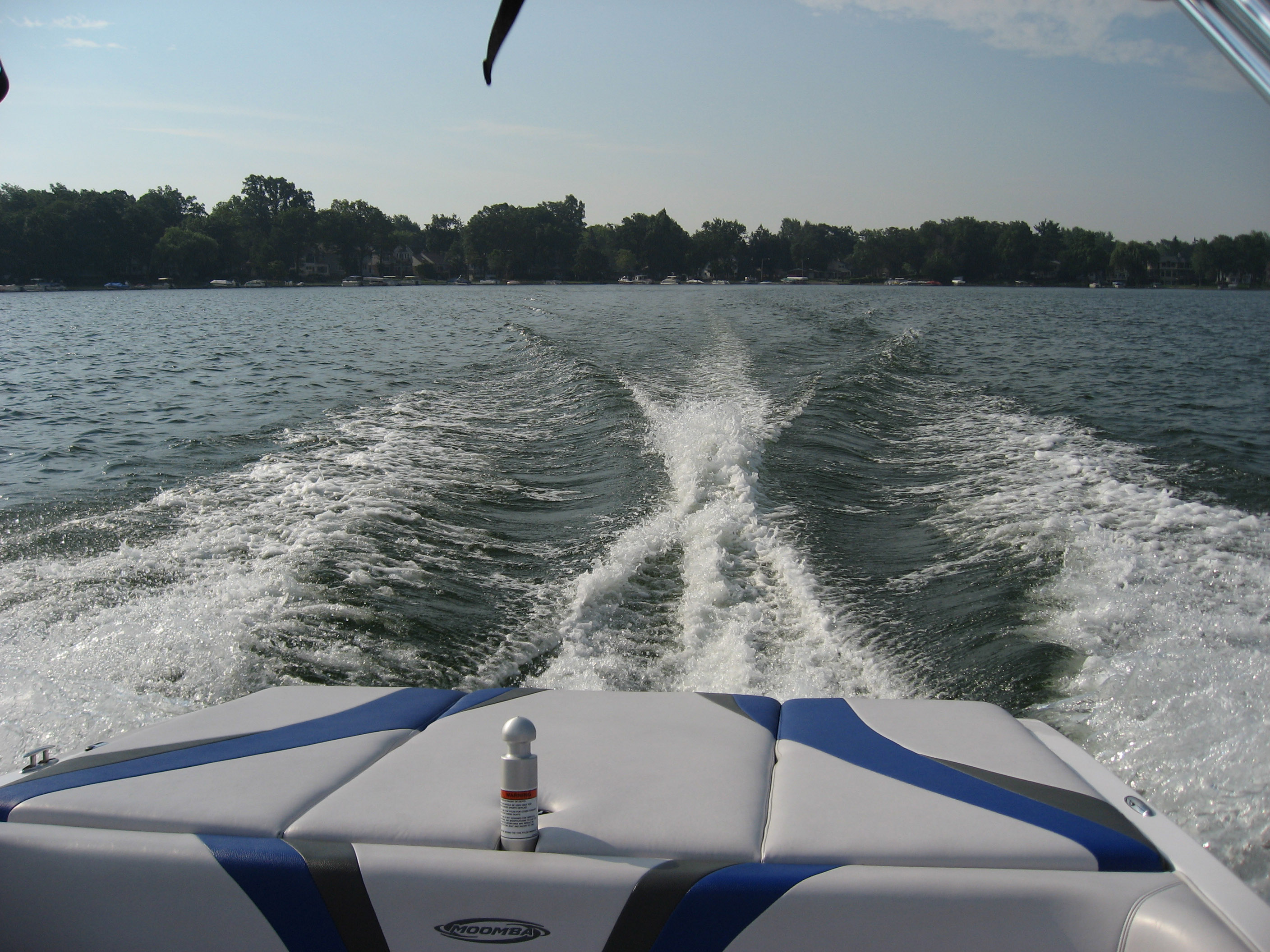
A picture of the wake.
Two pictures of my favorite house on the lake. This house has water around 270 degrees of it, very very scenic, nice yard.
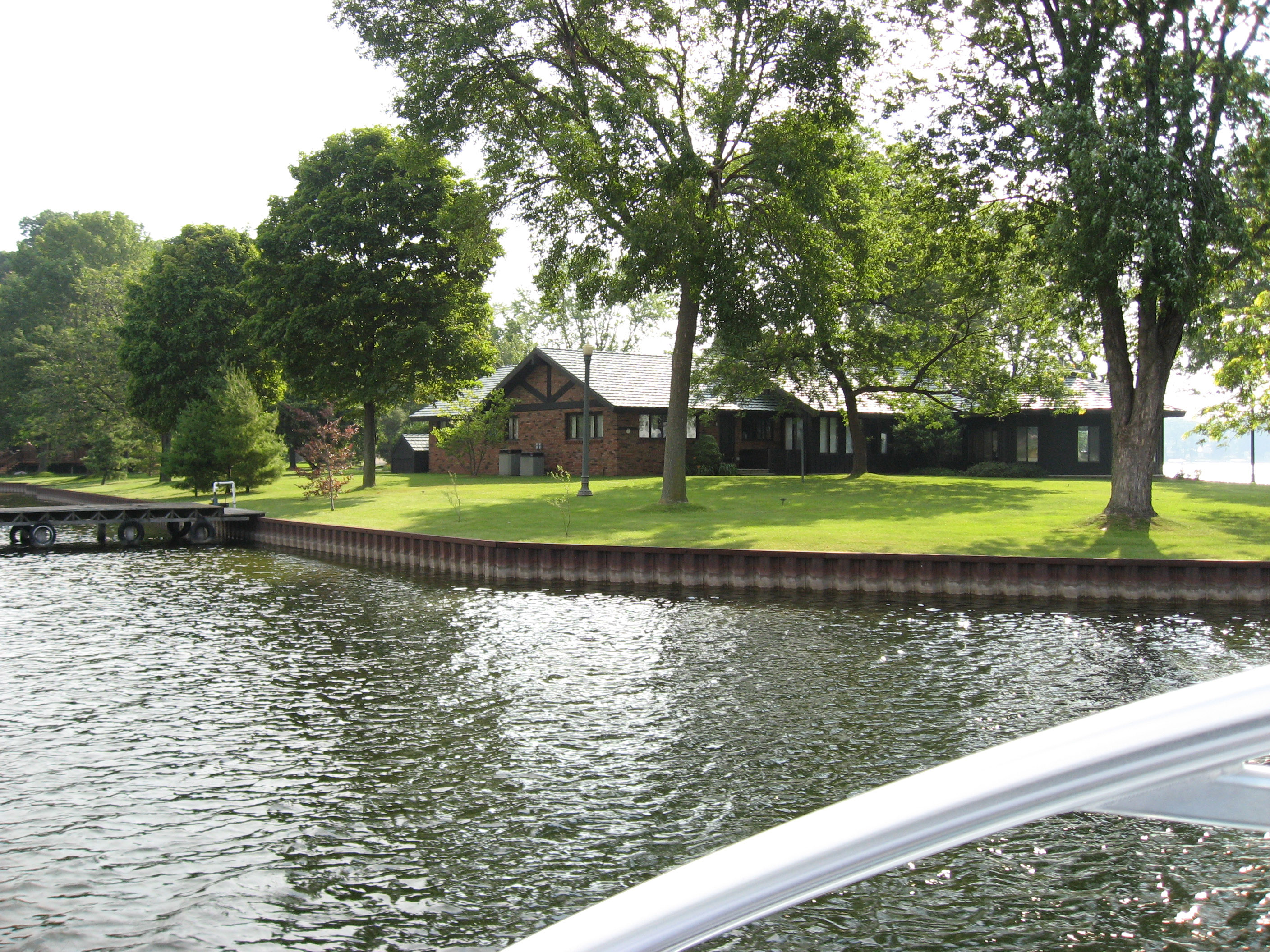
Another picture of that house to see their property.
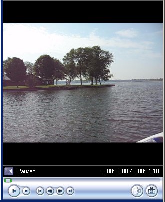
Click on the image below to play a movie showing a little bit of the boat ride. (Since my server is a Mac, it won't serve up WMV files properly, so I had to zip it to hide it from Apple's OS).
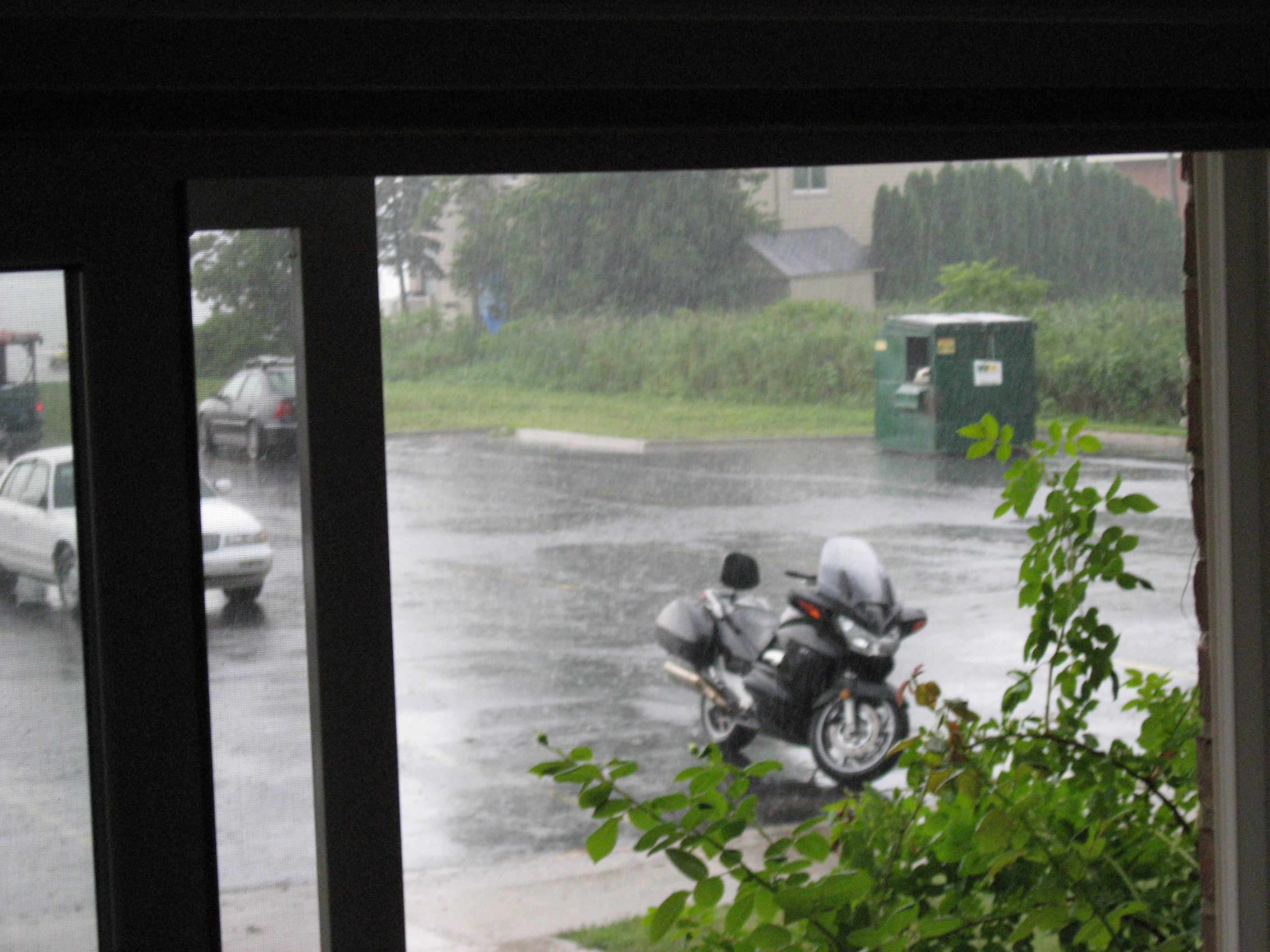
I took a nap, then when I got up (this is the same day) the weather was POURING down rain. Below is my Honda ST1300 motorcycle parked out in the rain in front of Ari's apartment.
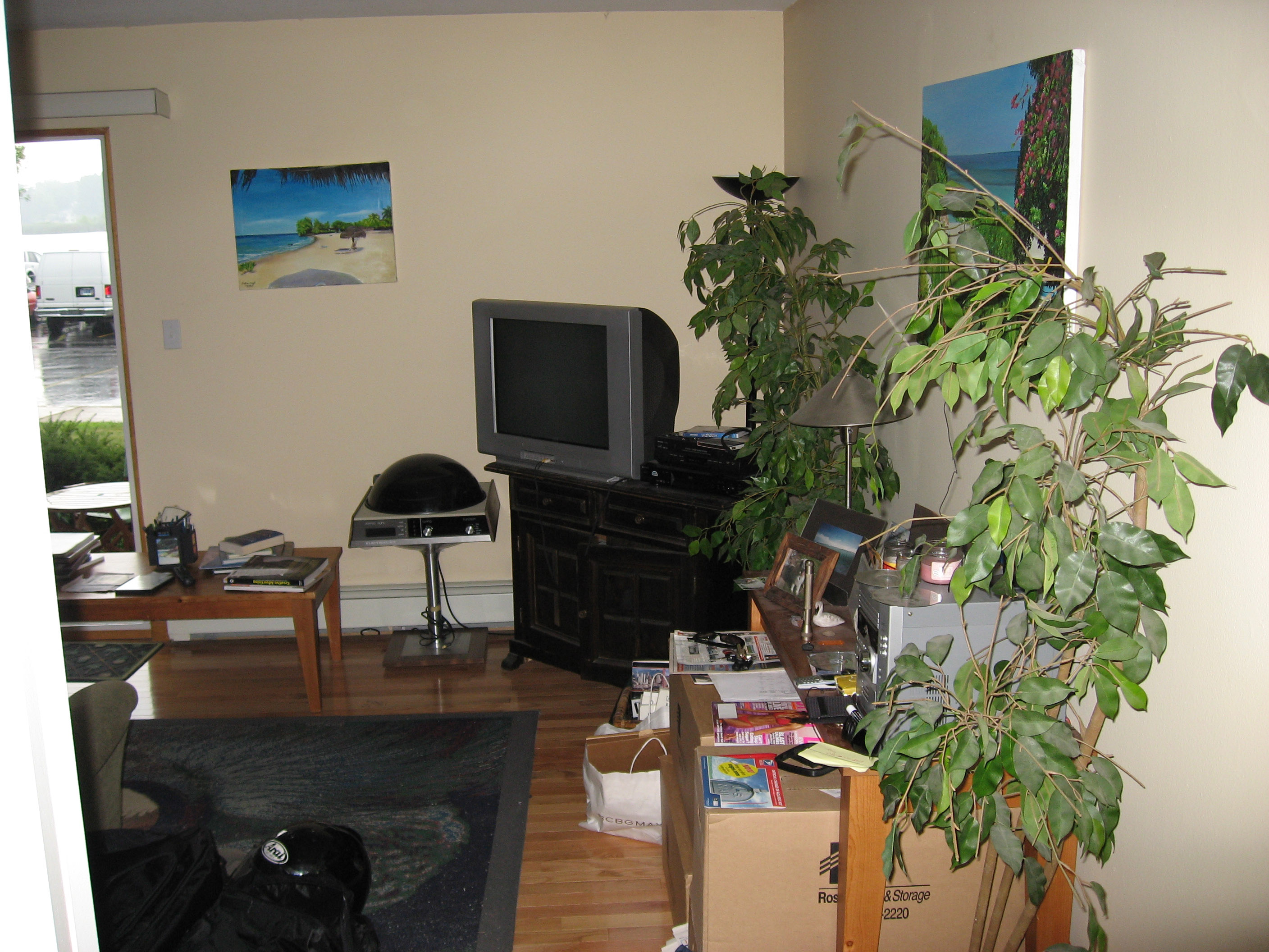
This is the living room area of Ari's apartment. If you look out the porch door on the far left of the photo you can see the lake and almost see Ari's boat.
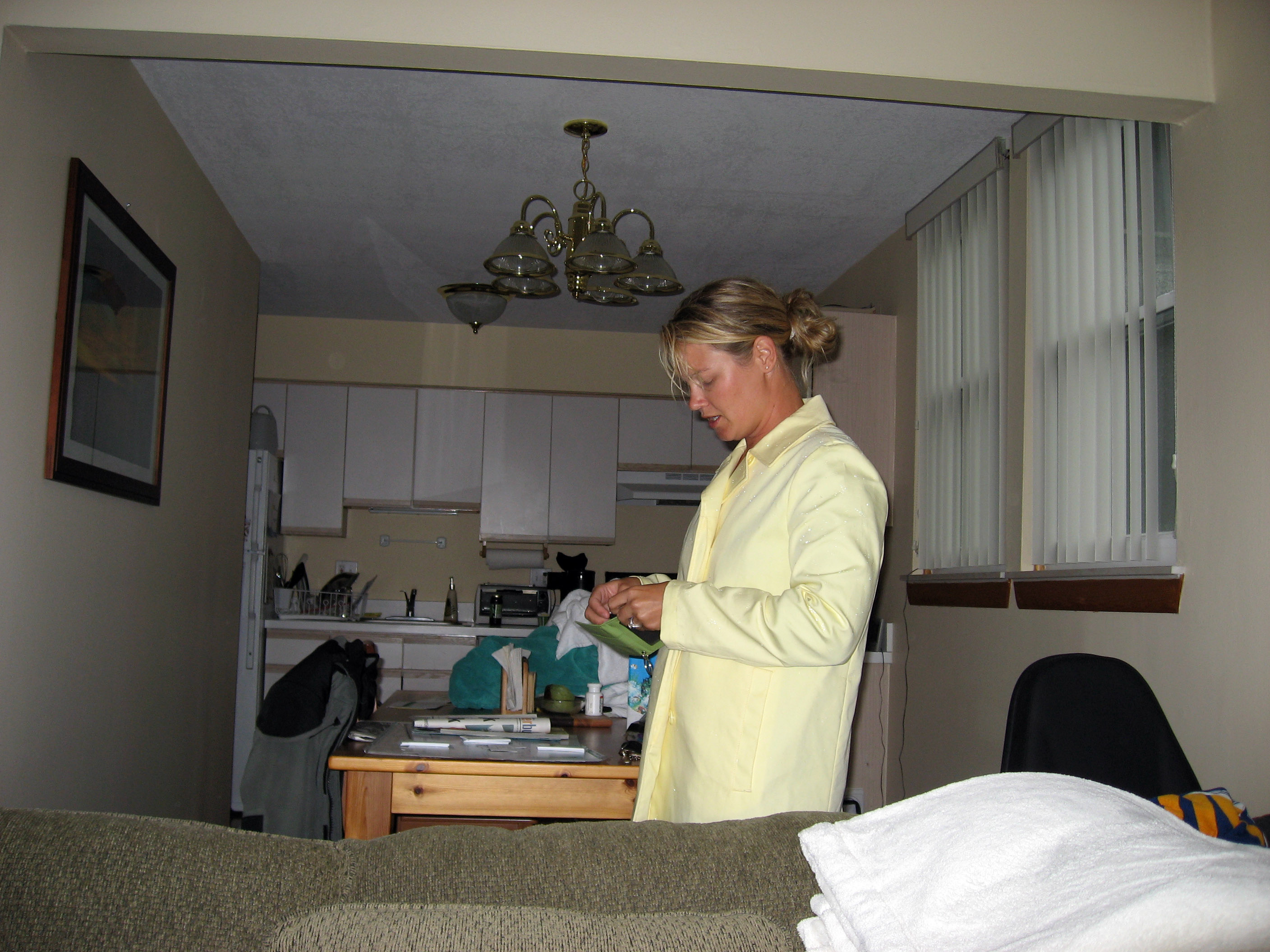
Amy (?lastname?), (Ari's Fiance) who is getting ready to go out to a meeting.
Ari Echt is in advertising, he is SUPER creative and knowledgeable and has helped out my new startup. You can check out his business website here: http://www.smallestadagencyintown.com
Click Here for Next Set Of Pictures
Return to 2006 Canada Motorcycle Trip