The Plan: to sail the boat from Marina del Ray in Los Angeles all the way to San Francisco in 3 days. I hired a captain, Jonathan C. Ide (Jon), and convinced my buddy Scott to come along to help out. Jon spent 20 years in the Coast Guard, retired from that, and is now a marine surveyor, and helps deliver the occasional boat like mine.
The Result: Due to weather conditions around Point Conception (point D on the map below), we only made it from Marina del Ray (point "A" on the map below) to Santa Barbara (point "C" on the map below). I left the boat there in a guest slip, and Scott and I drove back to San Francisco in a rental car. This web page shows pictures from this leg of the journey.
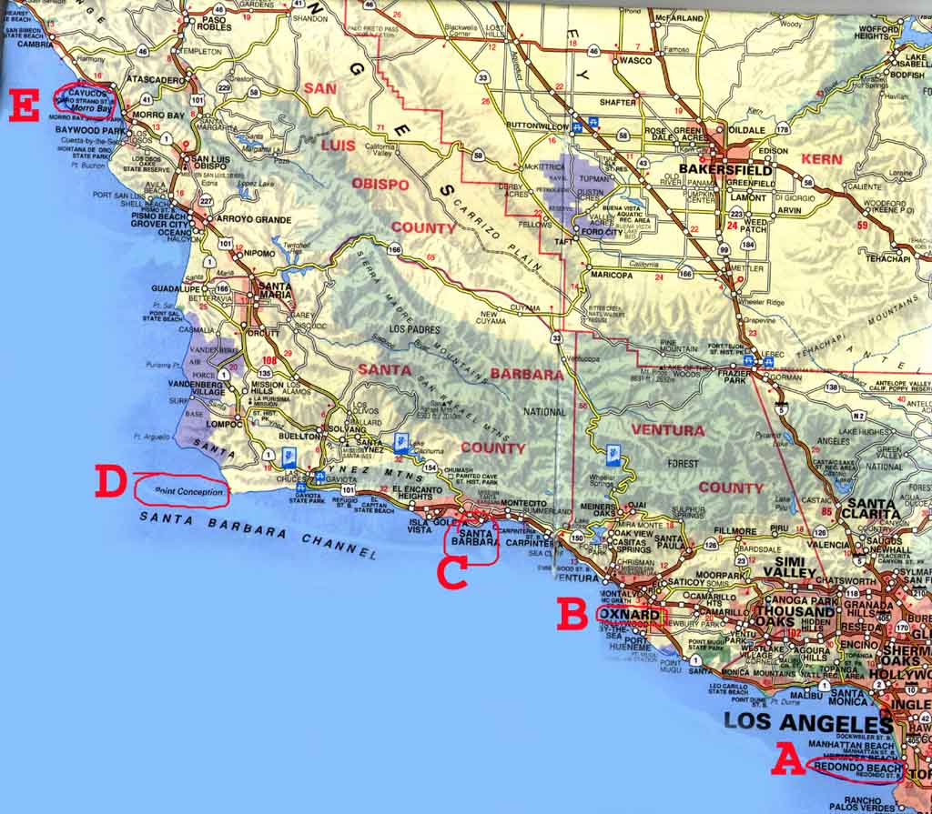
Here is a map pointing out some highlights in big red letters. A is where we started in Marina del Ray, B is where we spent the first night in the Channel Islands Harbor, C is Santa Barbara, D is the famous "Point Conception" which has the highest probability of bad conditions, and E is Morro Bay, the next stop for fuel after Point Conception. Click on the map for a larger, more readable version.
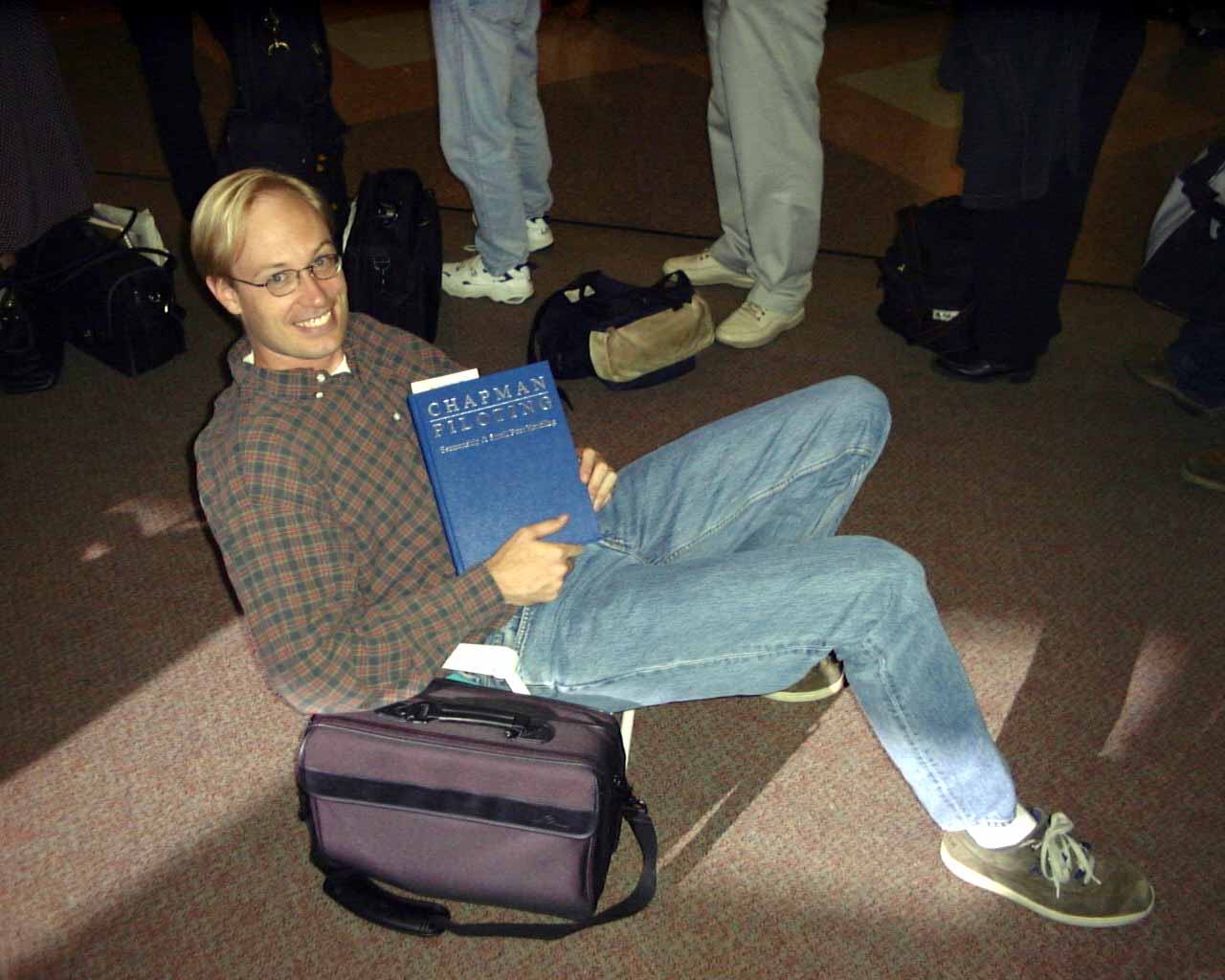
Our flight is delayed 2 hours leaving out of San Jose on Friday night, and here is Scott sitting in my lawn chair in the airport reading my copy of "Chapman's Guide to Powerboating".
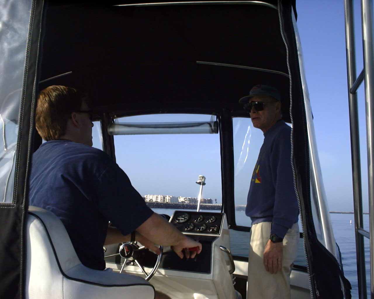
After a day's delay due to my Zodiac dingy not arriving quite in time, we get underway. I'm at the helm, Jon is standing in the foreground. This picture is in Marina del Ray Sunday morning, 4/9/00, 8:05am.

I'm at the helm, Jon on the right, looking forward as we leave Marina del Ray.
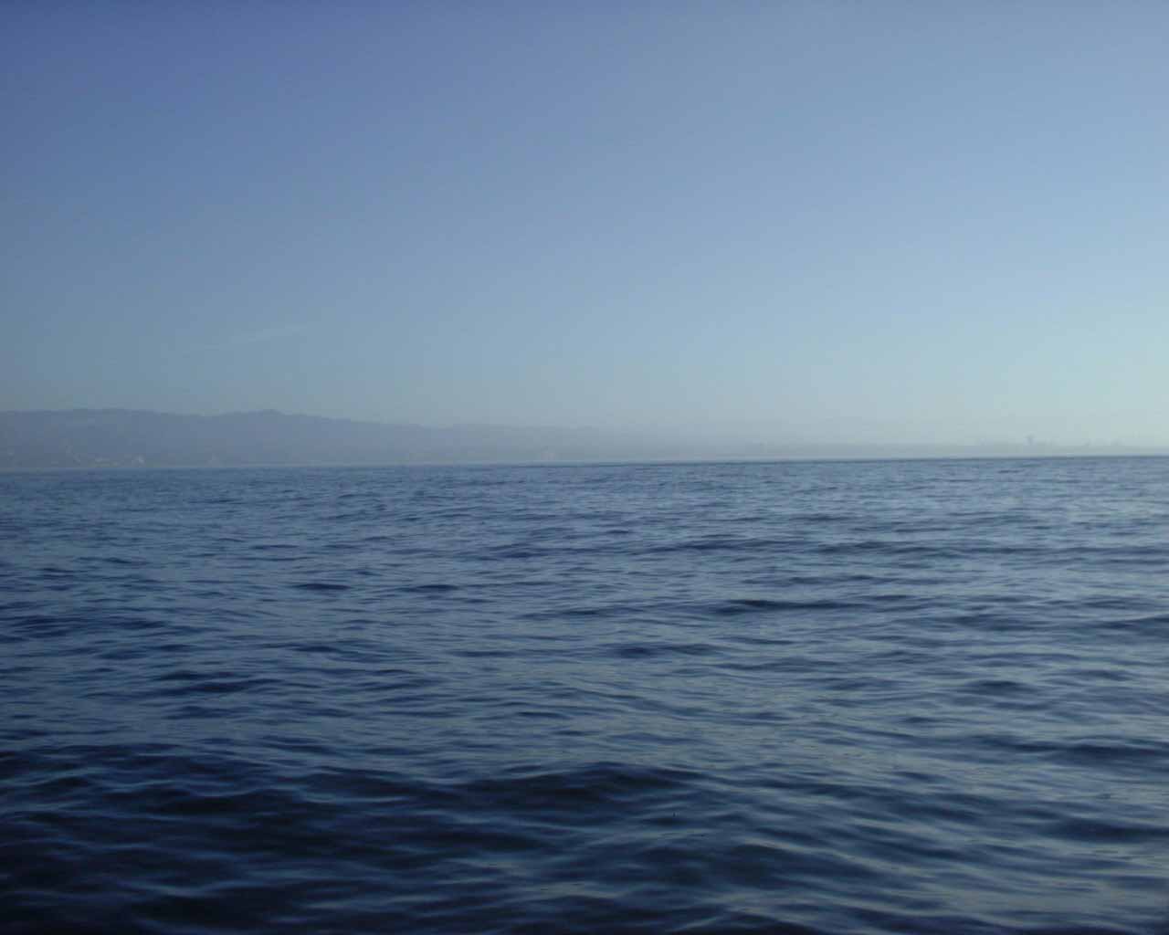
Views of that morning. It's very nice out initially.
The wind came up, and we were hammering pretty hard, so we stopped short of our goal of Santa Barbara and stopped in Channel Islands Harbor (near Oxnard, point B on the map) at 1pm to wait out the day's wind. We were planning on hopping up to Santa Barbara at 11pm when the seas were calmer, but it was still blowing hard at midnight, so we slept here, then left the next morning at 5am in calm seas.

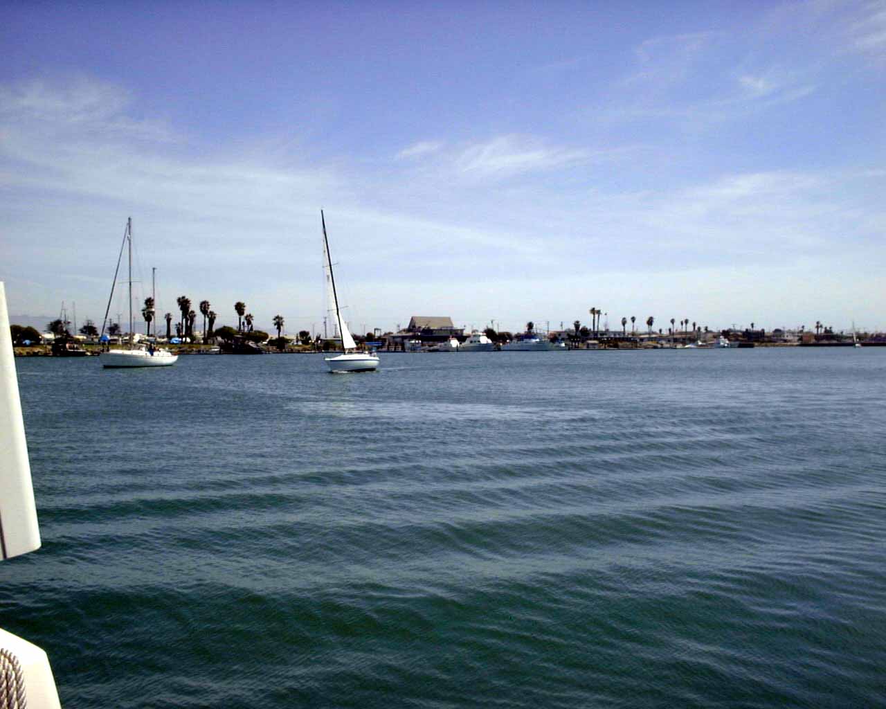
Pictures from the swimming platform on my boat of the Channel Islands Harbor. It's a very pretty place.
Here we are, departing at 5:30am, Monday morning, just after departing the Channel Island Harbor. Another beautiful day.

Same day, sunrise.

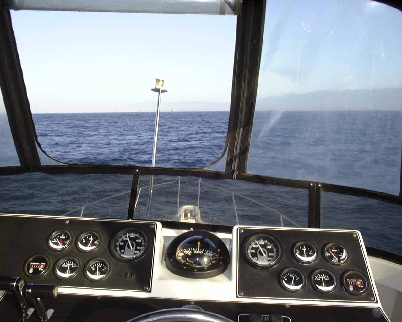
Mid-morning, on the trip to Santa Barbara.
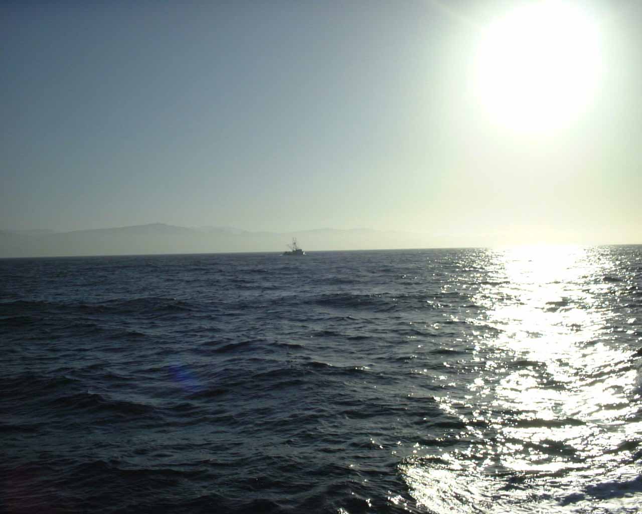
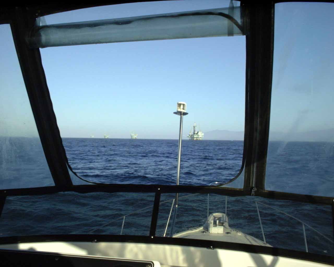
My view from the captain's chair. You can just make out an oil rig in front of Santa Barbara in the distance.
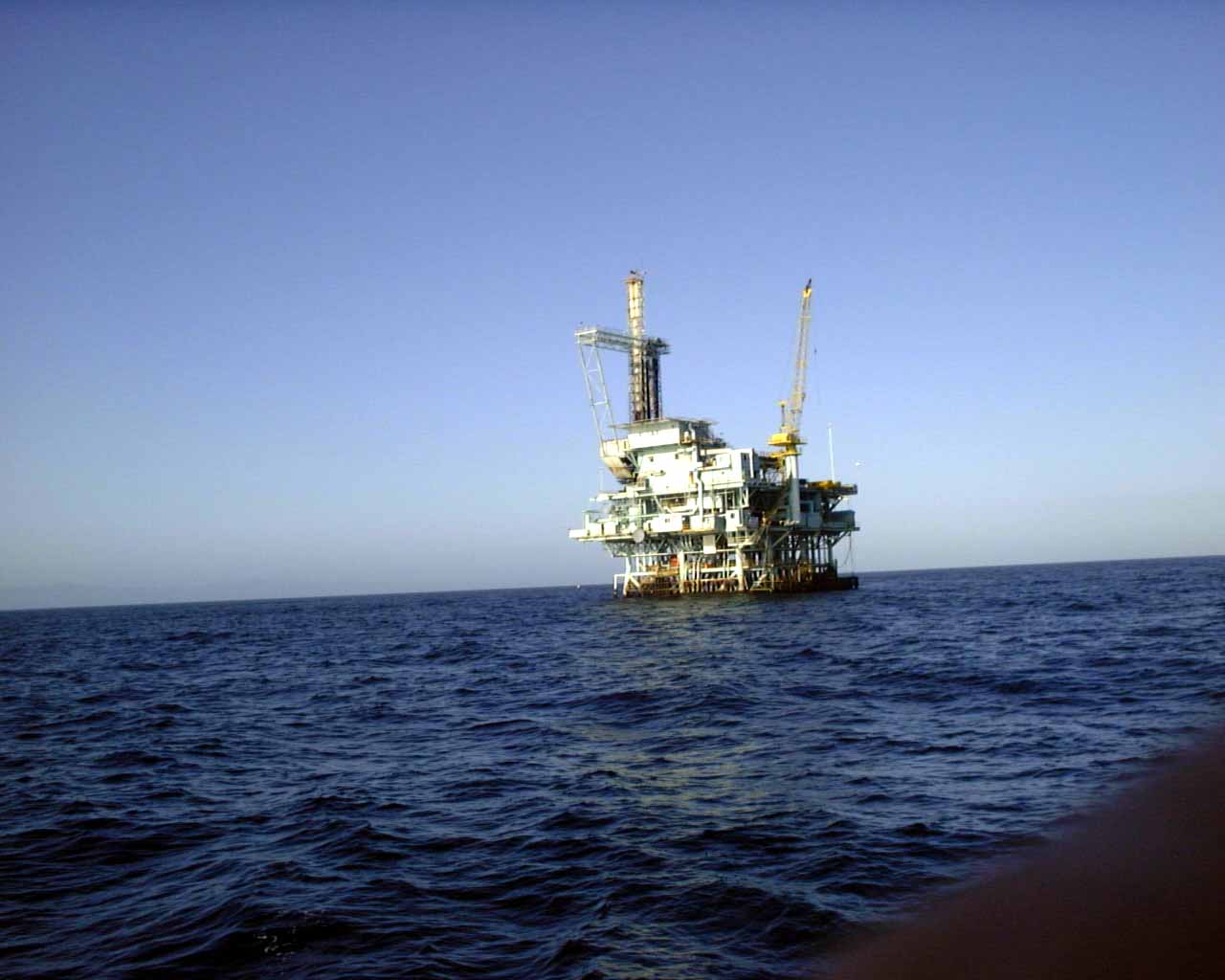
Three oil platforms outside of Santa Barbara.
Up close to the oil rigs outside of Santa Barbara.
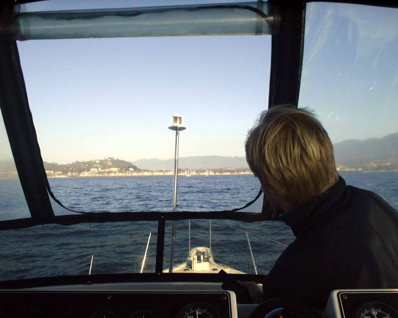
Here we are heading into the Santa Barbara harbor.
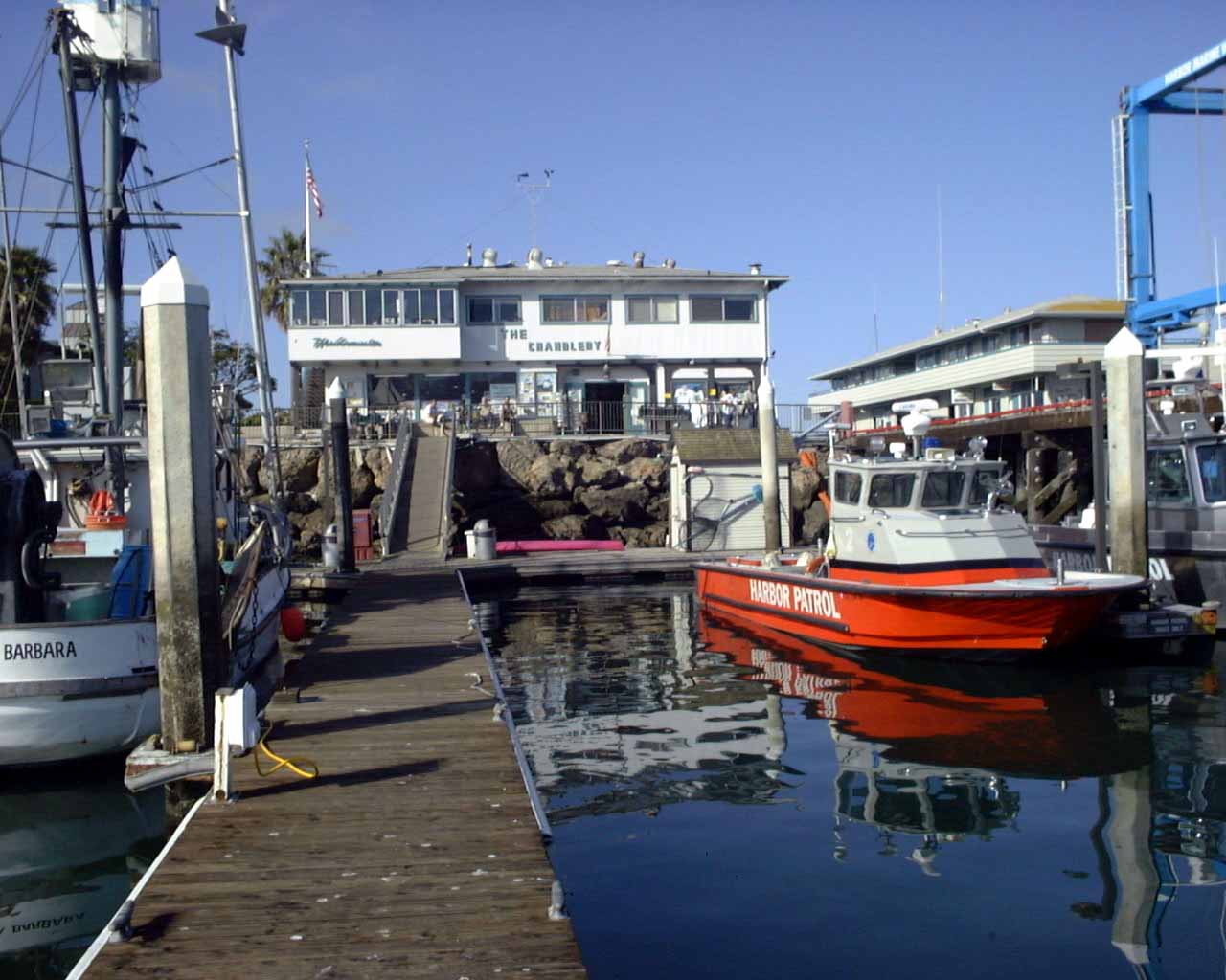
This is inside the Santa Barbara Marina, the fueling dock is on the right. It was here that we looked at the weather report for the next few days, and it looked very windy, and we decided to stop here and not attempt Point Conception (D on the map above). The Harbor Master is in the building straight ahead, and he rented me a guest slip for a week.
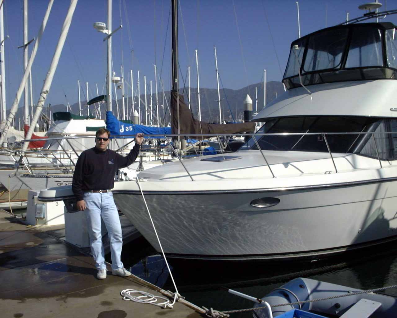
Here I am, next to my boat that we left in this guest slip in Santa Barbara.
Here are Jon and Scott.

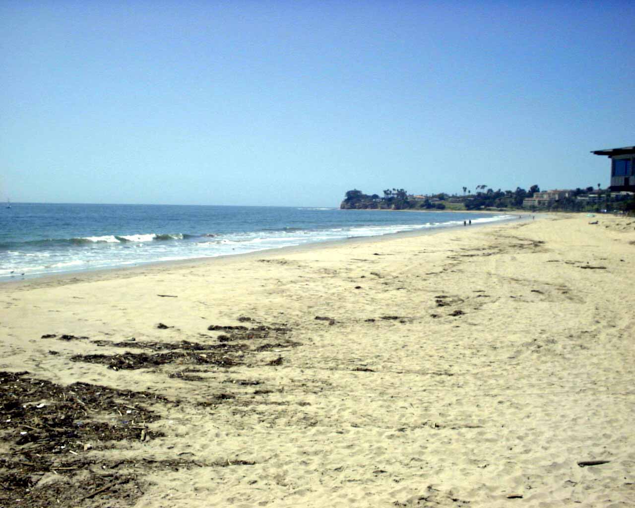
We ate a leisurely breakfast at the Santa Barbara Marina, in the "Breakwater Cafe". It is very nice here, and hard to believe we are stopped by "bad weather" that looks like this!

This is the final picture in Santa Barbara, as I was walking my luggage out of the Marina to catch a taxi to the Santa Barbara airport. This is in the direction of Point Conception. Again, hard to believe that it is bad seas up ahead. Scott checked the weather report today, and Point Conception has 12 foot waves rated as "steep" with 20-30 mph winds. We did the right thing by sitting it out.