(Click here to read about Stage 1)
The Trip: we sailed the boat from Santa Barbara to Santa Cruz. I hired a captain, Dennis Longaberger, and the two of us waited 30 days for the weather to be "right", then made the trip in record time of 22 hours (with 6 hours in the Coho Anchorage and a 1 hour refuel in Morro Bay). Dennis owns and runs Sunset Kidd Sailing Charters and Yacht Sales in Santa Barbara, and delivers the occasional boat like mine. If you are in Santa Barbara, you should go out for a sail with him, he's a good guy.
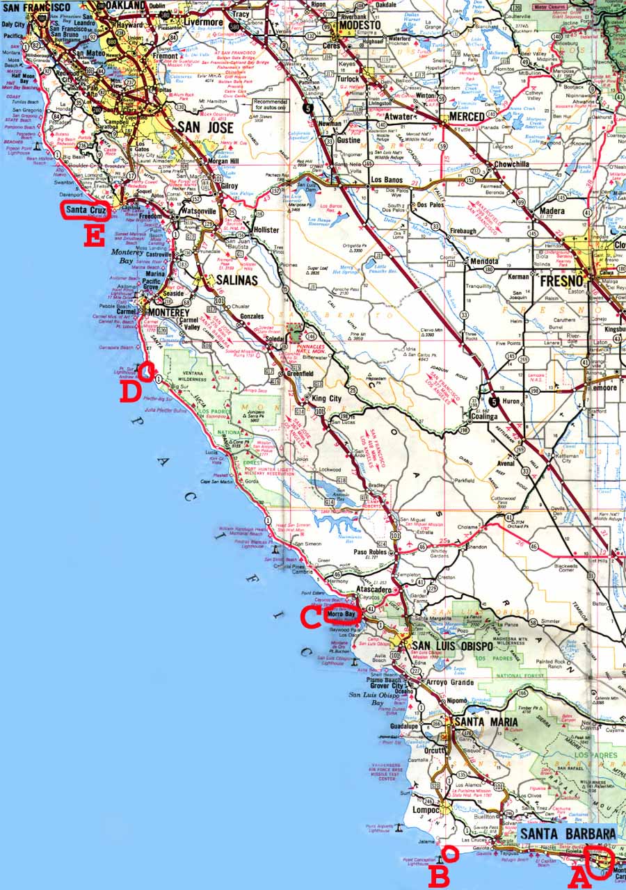
Here is a map pointing out some highlights in big red letters. A is where we started in Santa Barbara at 6pm, B is the "Coho Anchorage" just before Point Conception where we dropped anchor from 9pm - 3am waiting for the waves to die down, C is Morro Bay where we refueled at 9am after rounding Point Conception, D is Point Sur, and E is Santa Cruz, the final destination which we reached at 5pm. Click on the map for a larger, more readable version.
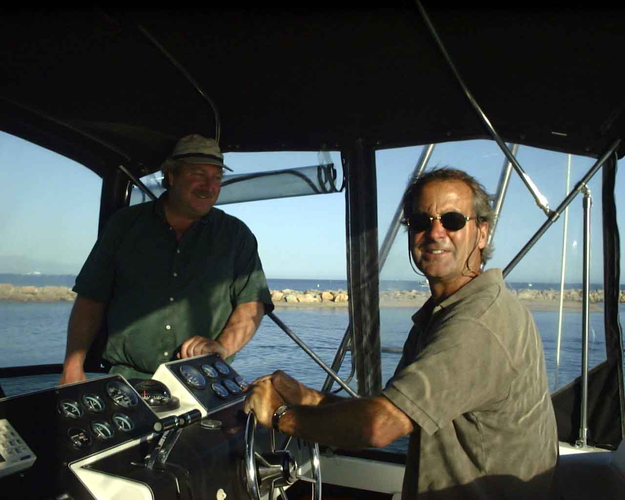
On 4/29/00, my captain Dennis (at the wheel below) and his buddy James (standing below left) and I made an attempt at this trip. We made it 300 yards outside of Santa Barbara Harbor, and had engine troubles that forced us to turn back. This picture was 2 minutes into the ill-fated trip inside the Santa Barbara breakwater, before we knew we had any problems.
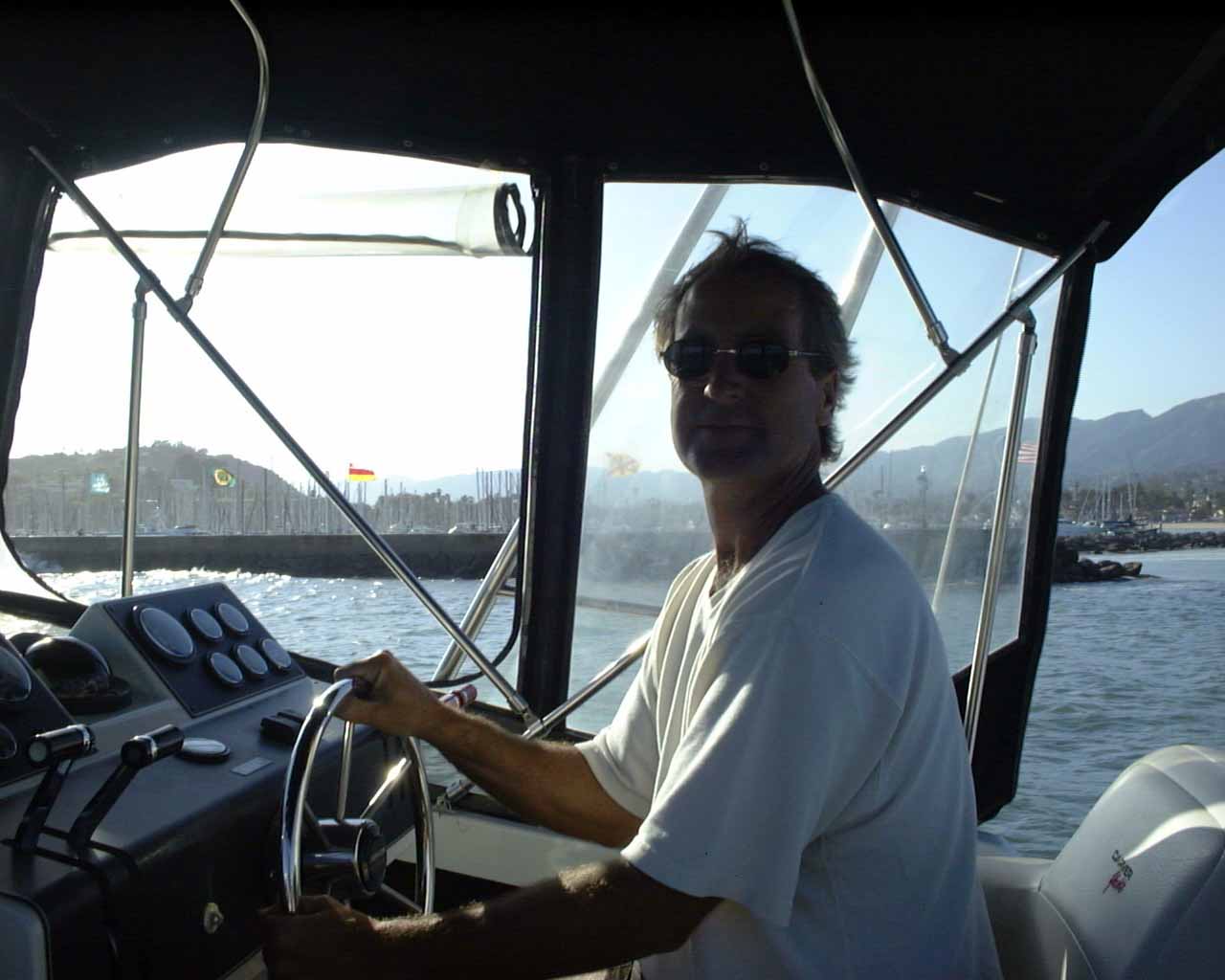
Ok, the real trip, this time it is Dennis and myself, and here's Dennis just outside the Santa Barbara breakwater, at the helm of my boat.
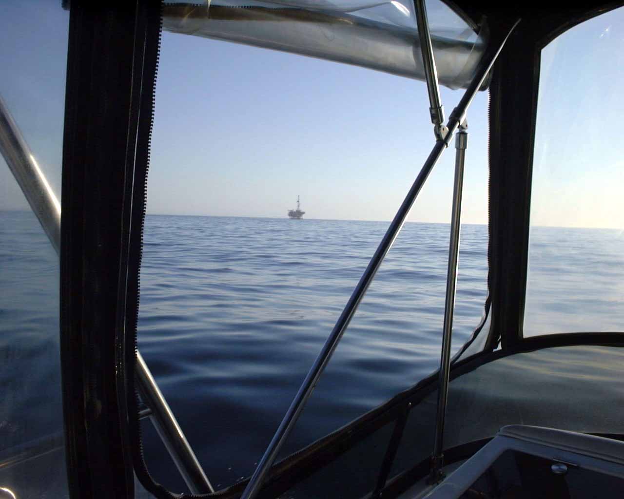
An hour along the way, you can see the water is glassy smooth and we're making good time. Here is an oil rig outside of Santa Barbara.
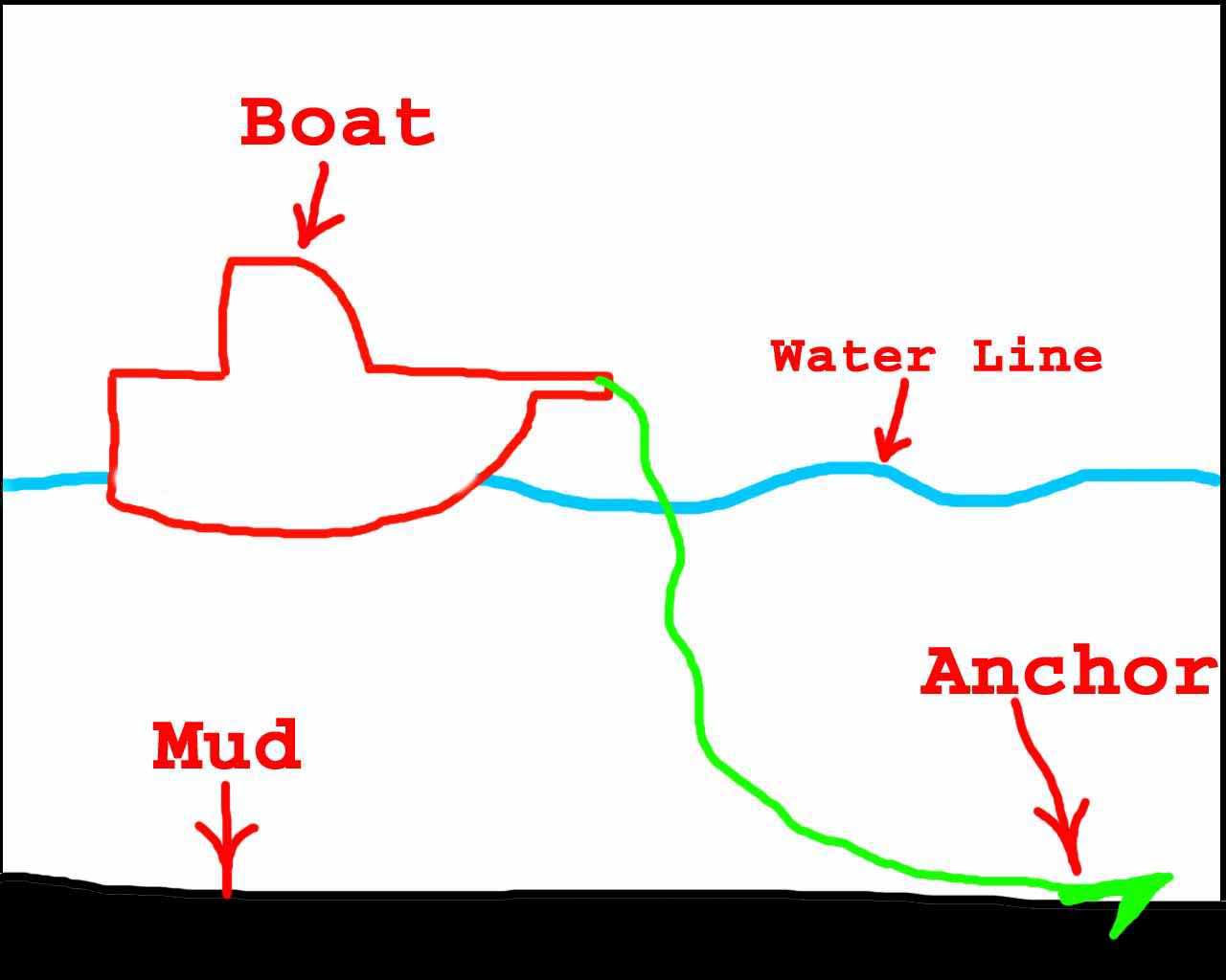
So at 9pm, as it is falling dark, we pull into the Coho Anchorage (point C in the map above) and drop anchor. The idea is to wait until the moment the water calms down, then sneak around Point Conception (the next 15 mile stretch of coastline) early in the morning. We took a nap, then at 3am we got up and went around Point Conception. Since this was all at night, I don't have any pictures, but below is my artistic rendering of the Coho Anchorage.
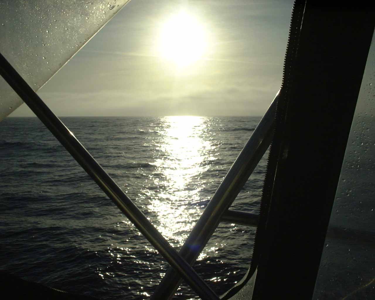
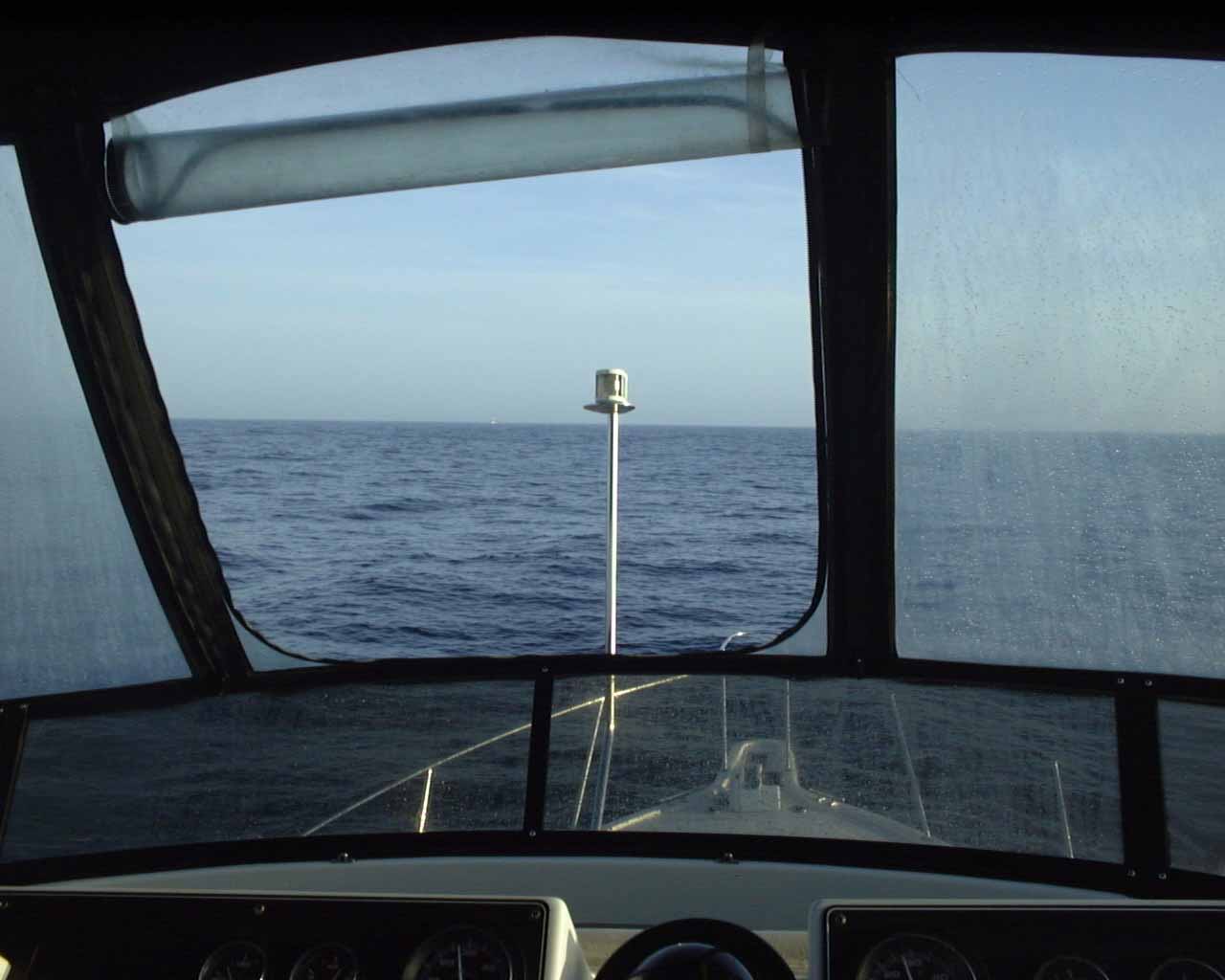
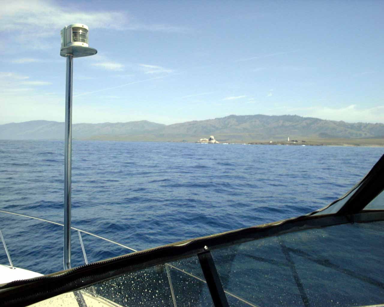
Early in the morning (maybe 4:30am), well into Point Conception, probably off Point Arguello. The flash in the camera went off, which is why you can see the dash.

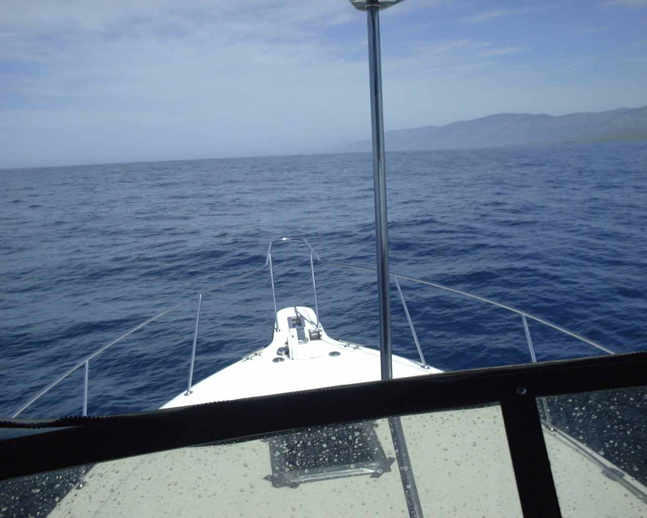
A little later in the morning, the sun is coming up. The water is smooth, so we start gunning the engines and getting more speed.
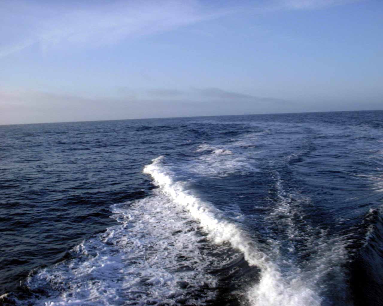
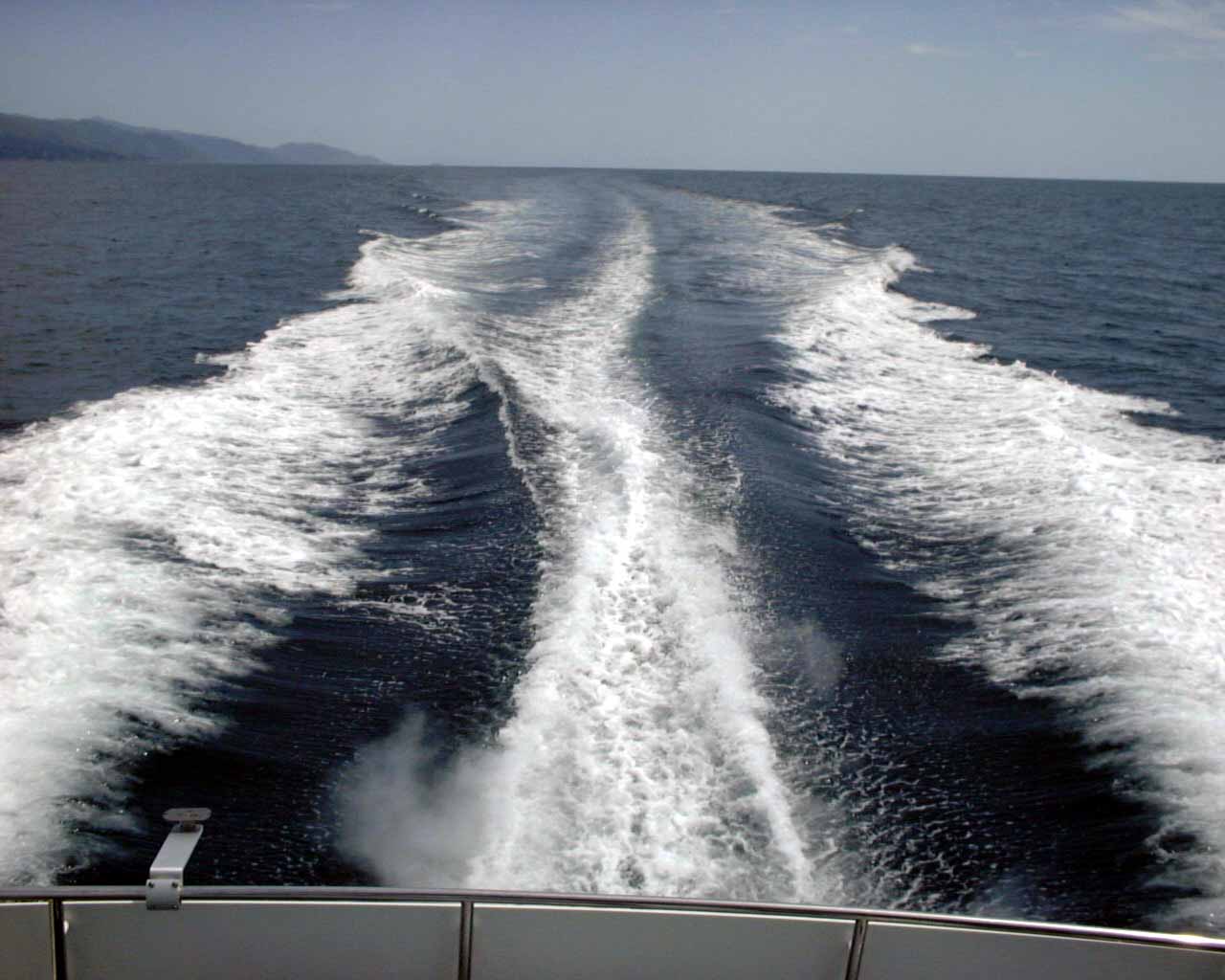
In the morning, here is our wake at about 18 mph.
If you look closely, you can see one other long boat in the distance. You probably would have to click on this picture to zoom in to see it. Other than him and us, we're all alone out in the ocean now.
Here we are coming towards Morro Bay, and we can see the famous Morro Rock in the distance.
Closer shot, here is the Morro Rock. It is to the left of the harbor, and you can see the smoke stacks inside the harbor on the right.

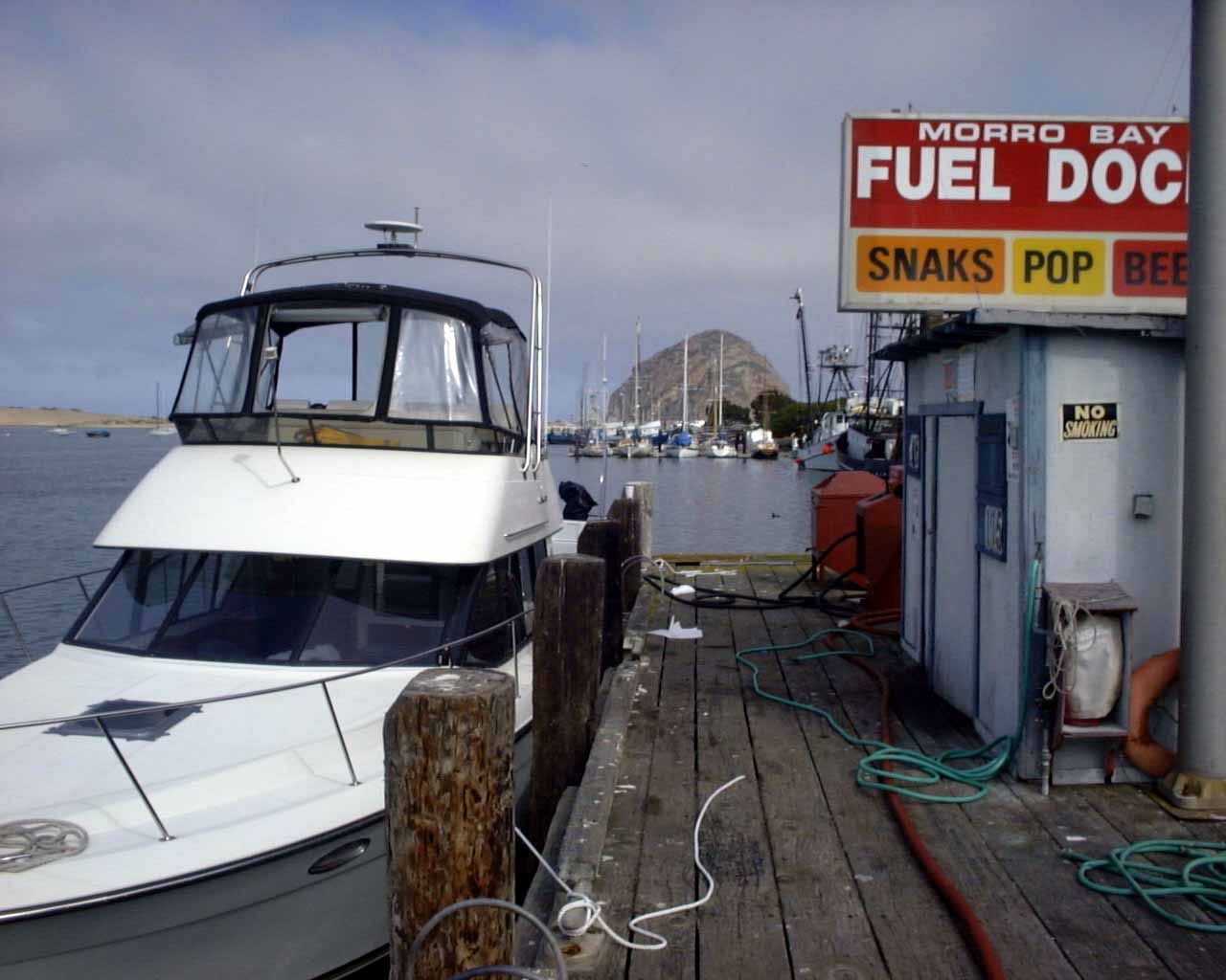
Here we are at the fuel dock in Morro Bay. We bought $350 worth of gas, and $350 worth of gas comes with a FREE cup of coffee, so I recommend this spot to all my friends! You can see the Rock in the background.
Random shot of Morro Bay harbor and the Morro Bay Rock.

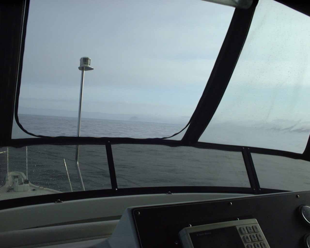
Coming out of Morro Bay, heading north across the water.
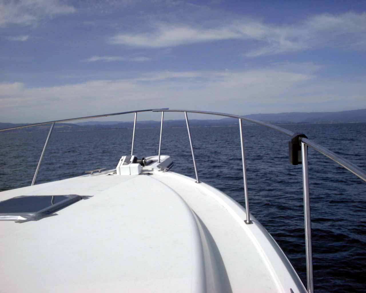
I think this is San Simeon? It was an interesting point of land in a 200 mile stretch of beautiful coastline.
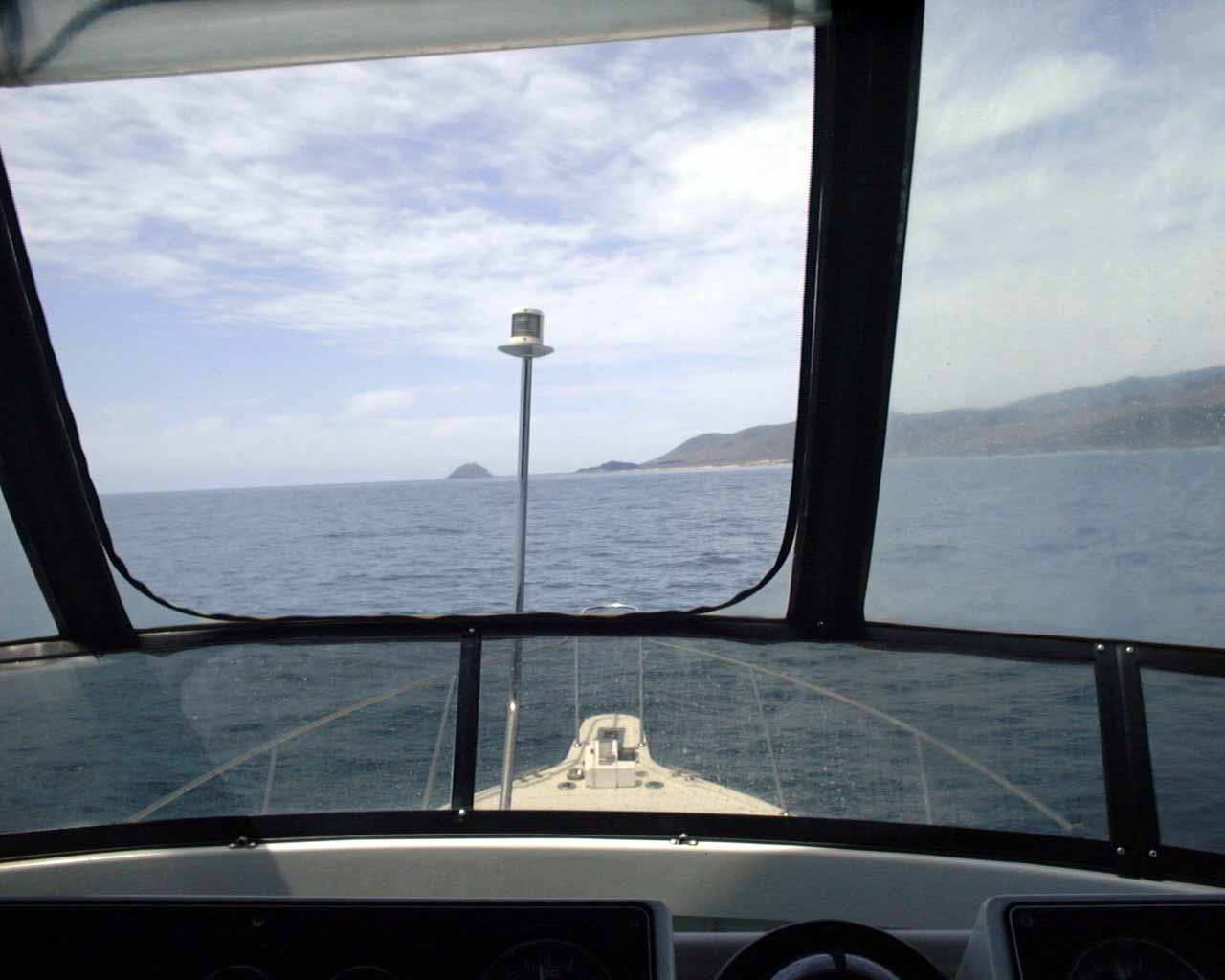
Here we are with smooth water, making about 20 mph which is very good time.
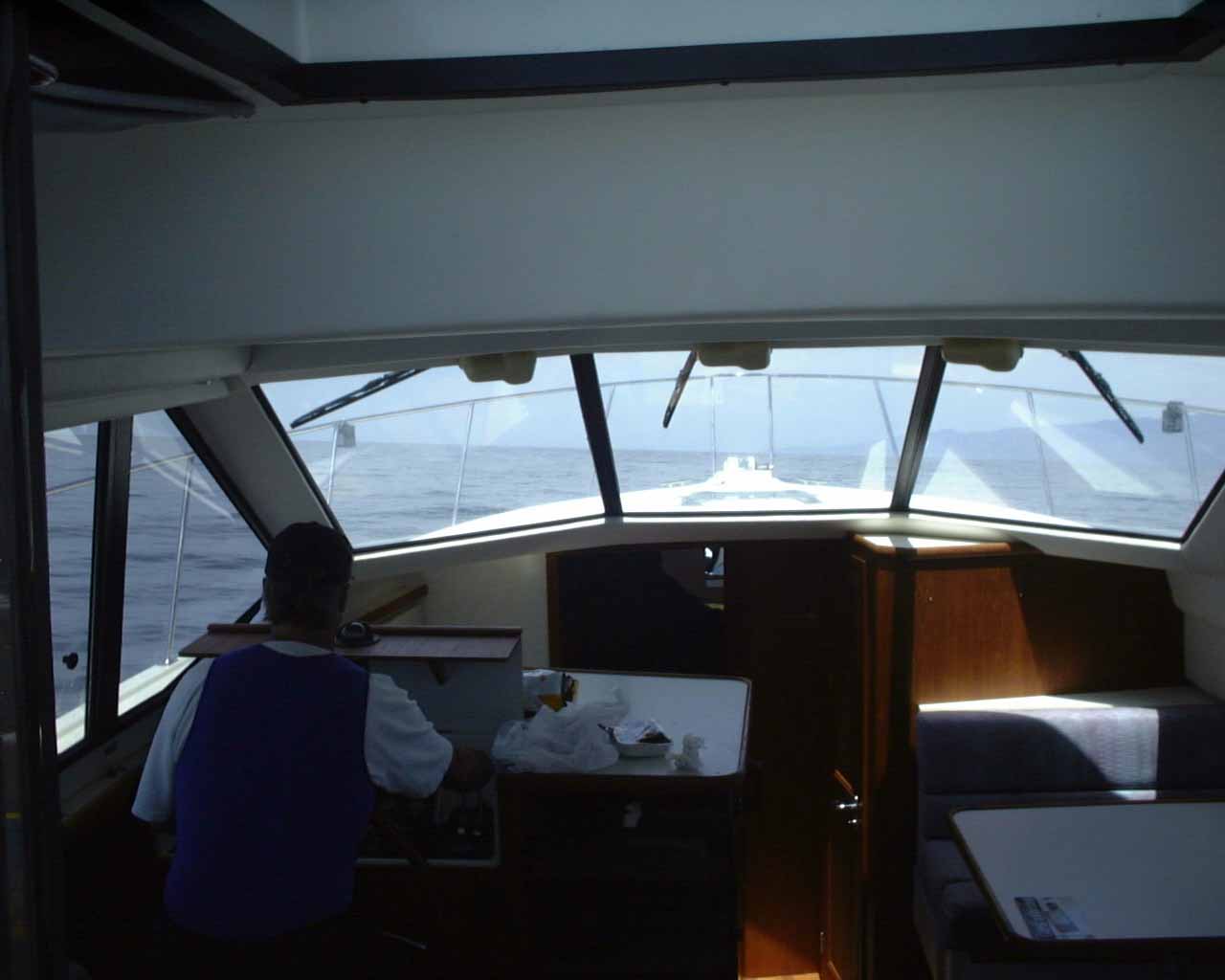
The water got so smooth around lunchtime, that Dennis and I went down below and drove the boat from the living room. Those are chicken wings to the right of Dennis, and we're just HAULING along at 25 mph and the ride is quite good. We hung out listening to some music on the stereo for a couple of hours down below like this.
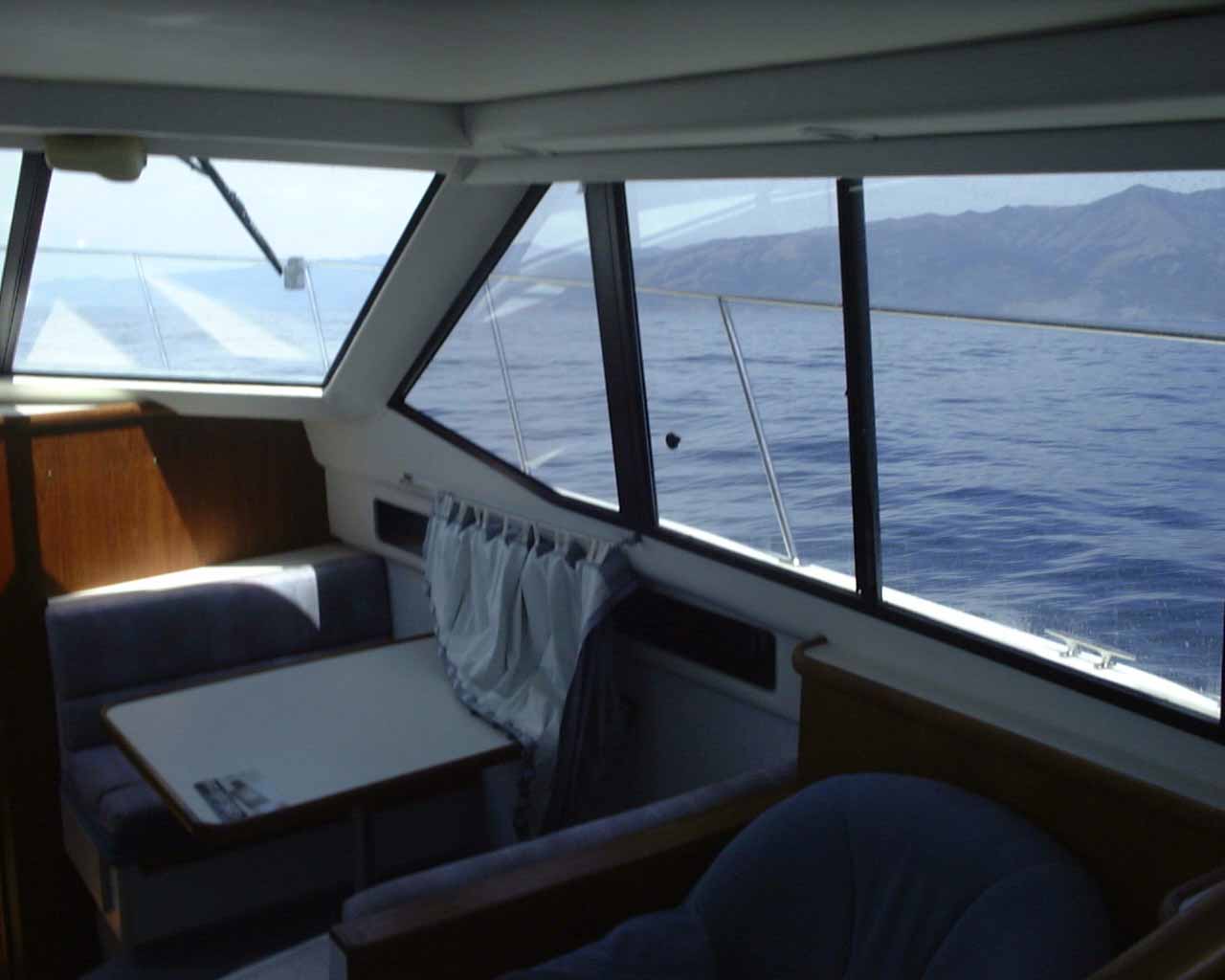
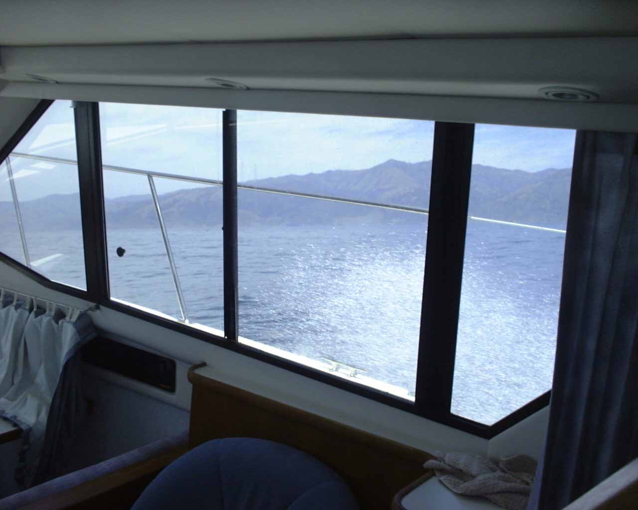
This is our view out the starboard side of the living room, very nice.
From time to time when we smacked a wave it would send white-water spray by the living room windows. It was very pretty, as you can see below.
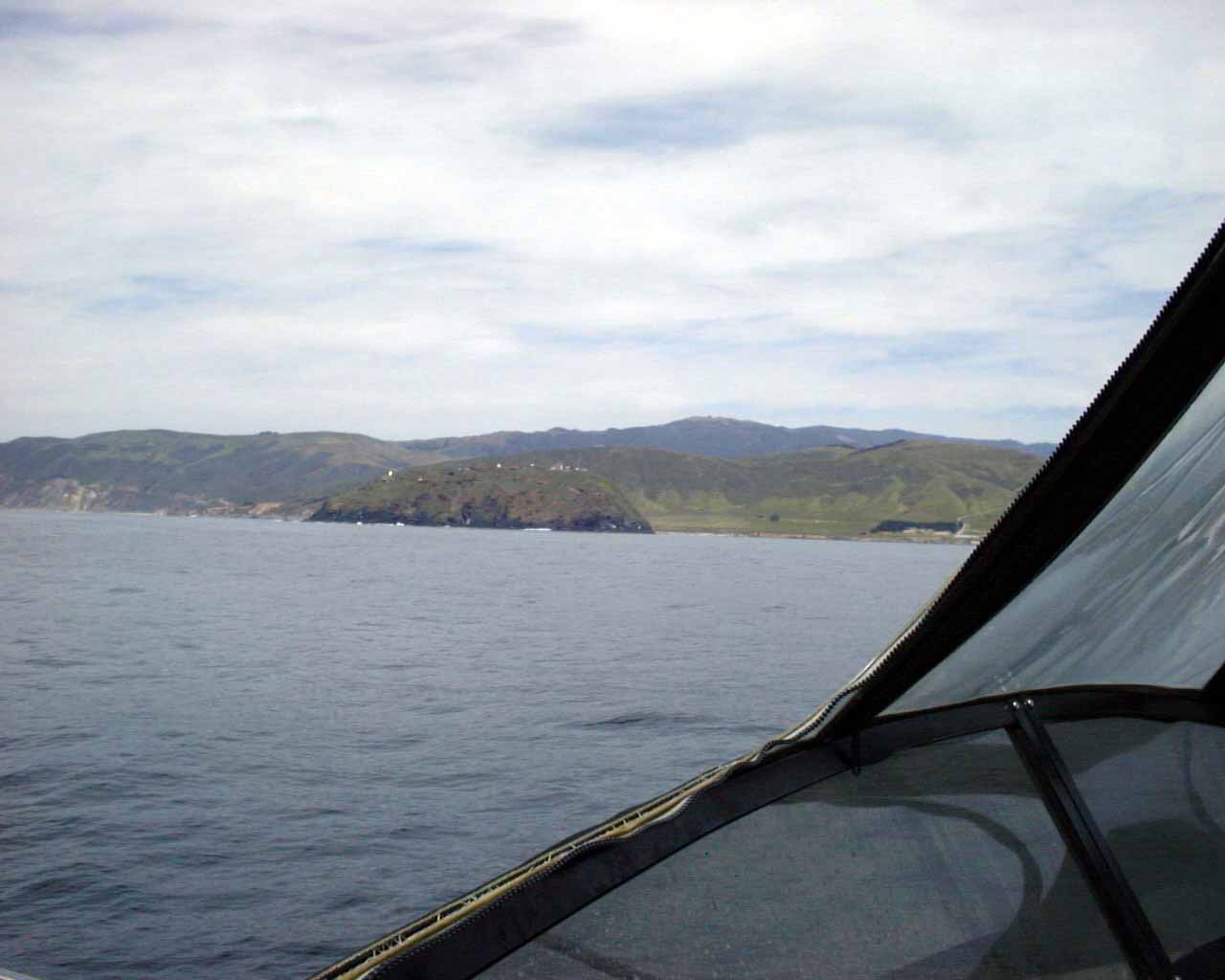
That's Big Sur up ahead, the last main obstacle. Water can get rough around the points.
Nope, water was glassy smooth around Big Sur, so we just kept the throttle on going about 20 mph up around it.
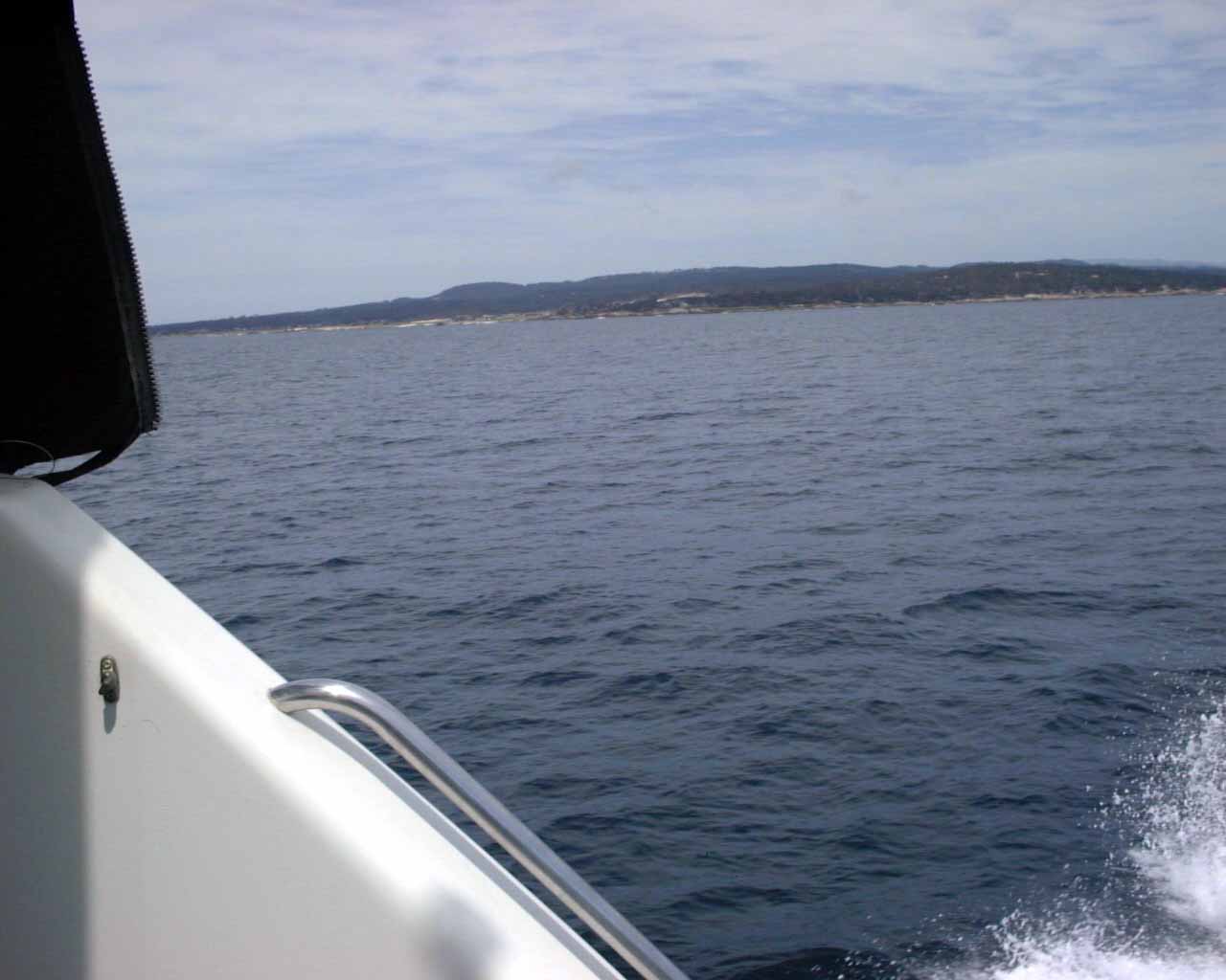
This is just south of Monterey, and I think that is the Pebble Beach Golf Course to the left (the sandy beach type area) which is inside the "17 mile drive".
This is our wake, as we head into the Monterey Bay towards Santa Cruz (the last 30 miles).
That's Santa Cruz dead ahead, I'm crouching on the side of the boat while it's moving along, so the water is beautiful.
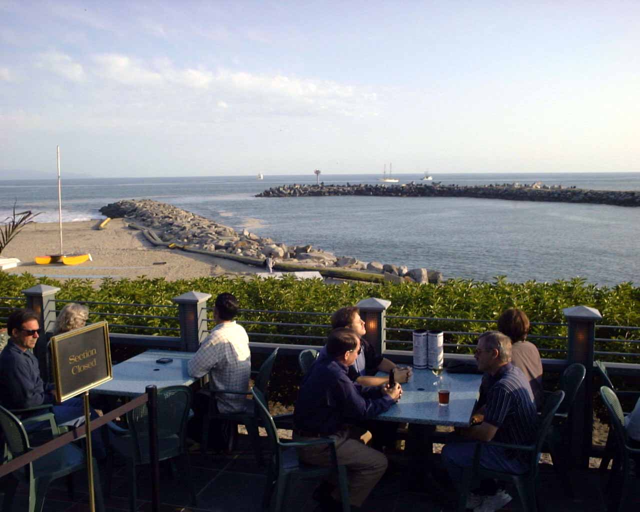
This picture is taken from the "Crow's Next" restaurant, and it is the mouth of the jetty we just came into Santa Cruz. My boat is now in a guest slip in Santa Cruz, awaiting the final leg of the trip.